Lat: 10 33.49′ N
Long: 65 32.01′ E
Inst Speed: 18.9
Wind Dir: 36
Wind Speed: 16.3999
Distance last 24hr: 402.6056255972982367
Distance to finish: 20813.91
Long: 65 32.01′ E
Inst Speed: 18.9
Wind Dir: 36
Wind Speed: 16.3999
Distance last 24hr: 402.6056255972982367
Distance to finish: 20813.91
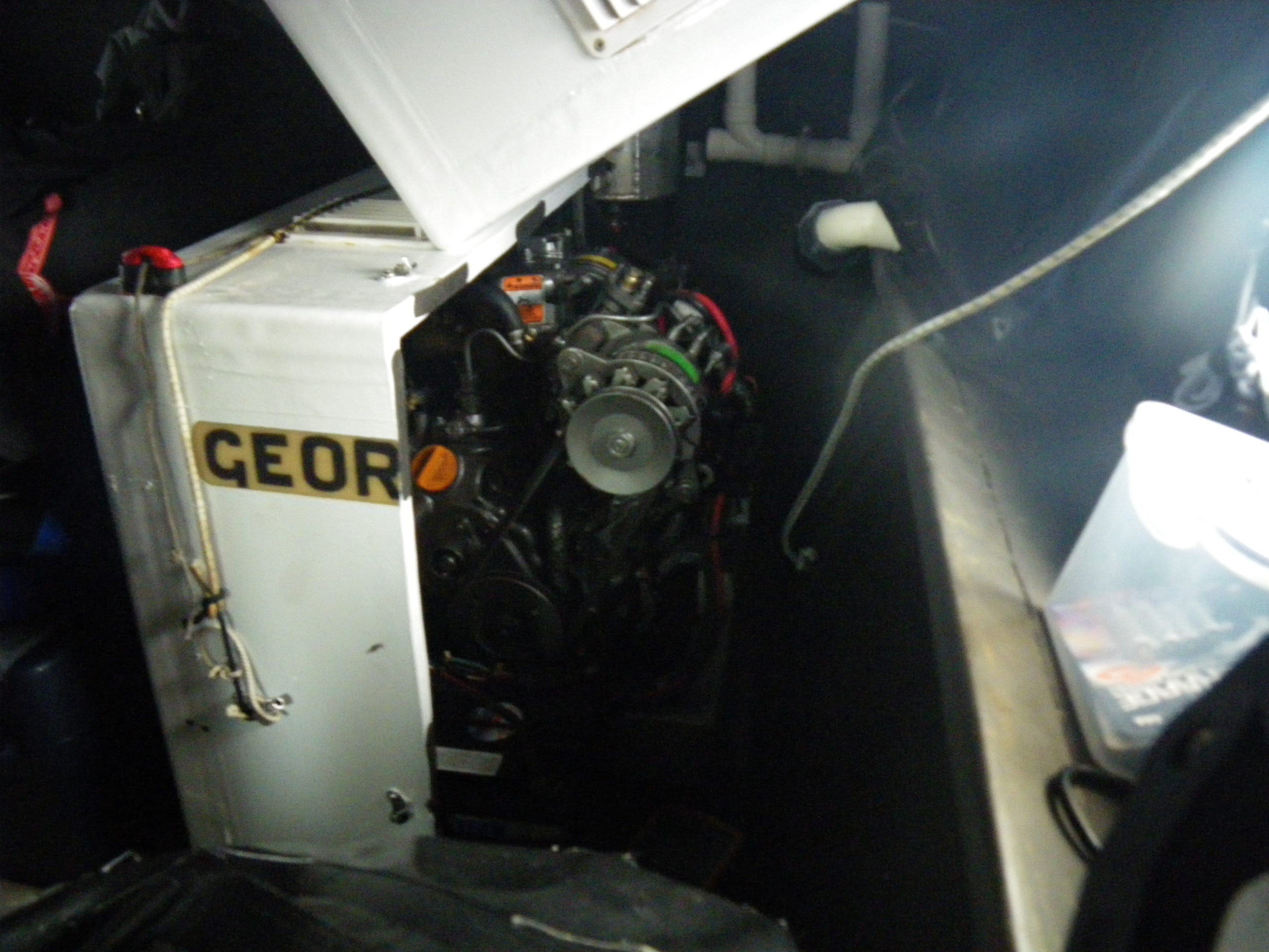
George the Generator
It’s the RED one
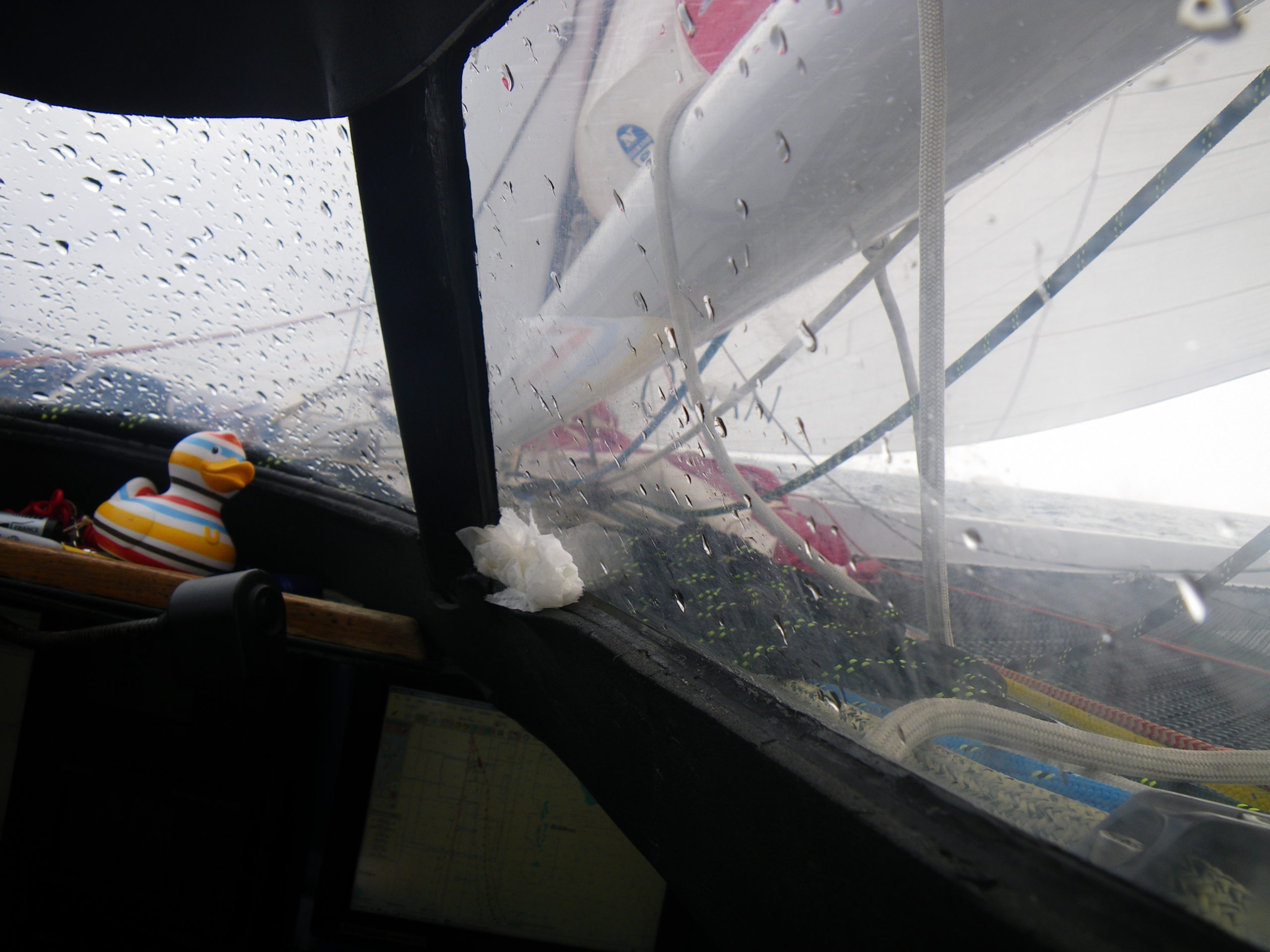
After all the miles they’ve done – the coach roof window starts to leak
Email from the boat to shore:
From: OmanTri <omantri@
To: update <updateoman@
Subject: Pretty warm at the chart table
Date: 11/01/2009 05:10:23
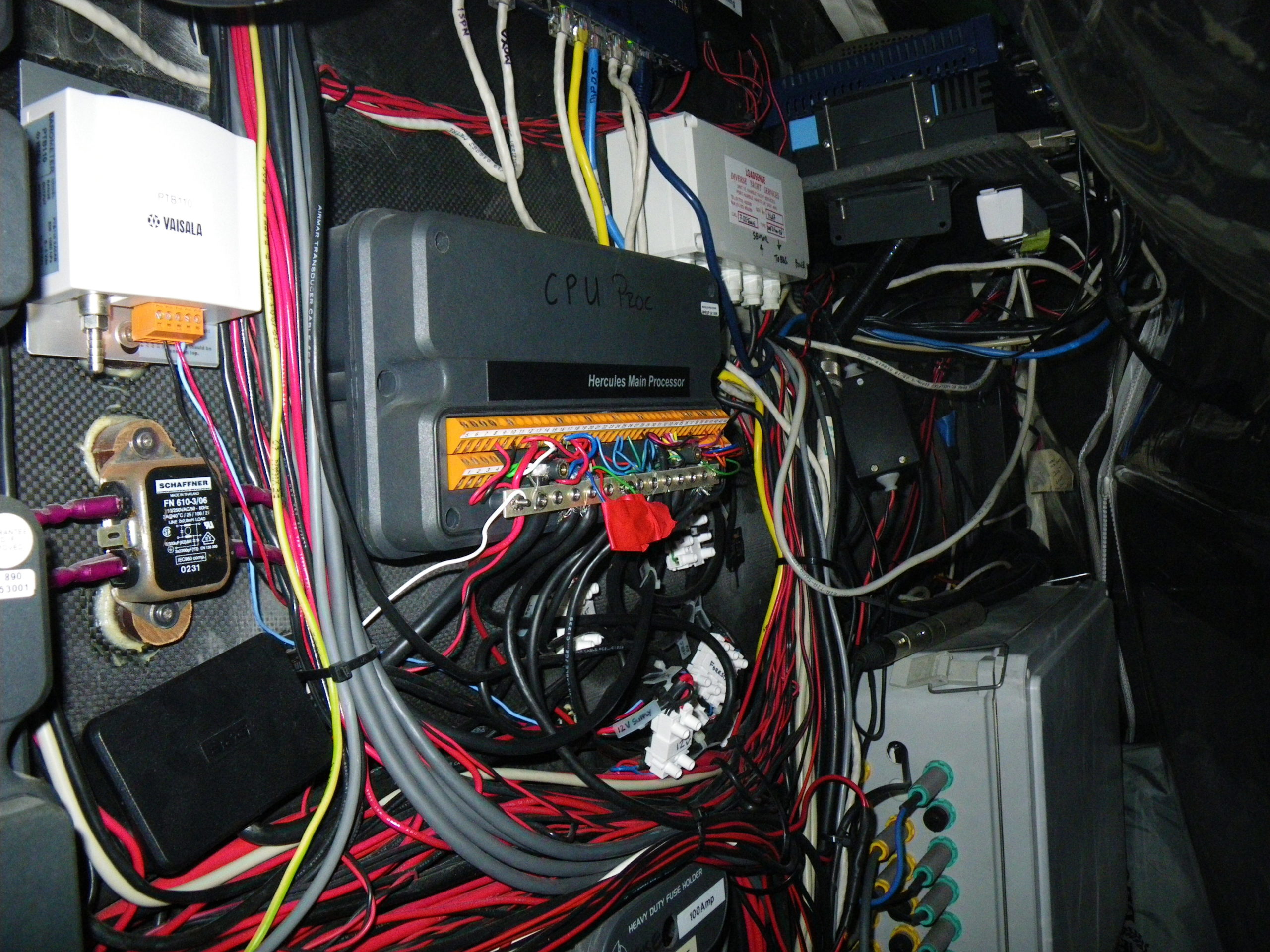
yesterday was a mixture of sailing and problem solving, one problem with the
instruments needed quite a bit of testing to find the problem, as it was
intermittent – and not easy to replicate, so you just had to wait for it to
happen and then try to see what can have caused it – a common theme was
everytime we went over a wave of a certain size. so we were looking for bags
moving against a wire or something similar, also the problem was lasting for
differrent lengths of time – sometimes just a split second ( hardly
noticibly to the untrained eye) to a couple of seconds that was fairly
obvious but in the end we found a very simple problem of a loose connection
from the main supply to the instruments, and a simple solution of making
good the connection – it’s been well made for so long – it does seem
strange that it chooses now to irritate us. In trying to find the problem we
changed a few things over so now we need to go back and put them back
working so we can carry on in our standard set up.
This hasn’t had too much impact on our speed down the course, so far so
good, we are getting taken a little further east than we might have wished,
but with winds forecast to move round to the east tomorrow that should help
us curve back a little and head to our equator/doldrum crossing point.
We’ll call George @ commanders for a little discussion later on how we take
on the next part of our trip – the rotation around the high pressure and
turn from south to east – all some days away now but important to set up
for early so as not to sail too many extra miles, and not get stuck going up
wind.
being on deck at night is really nice – it’s a great temp, occassional
wave – that you need wet weather gear for but it’s so bright outside with
the moon you really could read a newspaper.!!!
Date: 11/01/09
Time: 04:50:00
Posn: 1040.3462N 06529.0177E
Ave Boatspeed last 5 mins:17.39
Ave TWD last 5 mins: 035
Ave TWA last 5 mins: -125
Ave TWS last 5 mins: 15.6
Ave SOG last 5 mins:17.11
Ave COG last 5 mins: 160
Ave Pressure last 5 mins: 14.8
Sea Temp: 27.6
Air Temp Fwd cabin: -31.5
To: update <updateoman@
Subject: Pretty warm at the chart table
Date: 11/01/2009 05:10:23
yesterday was a mixture of sailing and problem solving, one problem with the
instruments needed quite a bit of testing to find the problem, as it was
intermittent – and not easy to replicate, so you just had to wait for it to
happen and then try to see what can have caused it – a common theme was
everytime we went over a wave of a certain size. so we were looking for bags
moving against a wire or something similar, also the problem was lasting for
differrent lengths of time – sometimes just a split second ( hardly
noticibly to the untrained eye) to a couple of seconds that was fairly
obvious but in the end we found a very simple problem of a loose connection
from the main supply to the instruments, and a simple solution of making
good the connection – it’s been well made for so long – it does seem
strange that it chooses now to irritate us. In trying to find the problem we
changed a few things over so now we need to go back and put them back
working so we can carry on in our standard set up.
This hasn’t had too much impact on our speed down the course, so far so
good, we are getting taken a little further east than we might have wished,
but with winds forecast to move round to the east tomorrow that should help
us curve back a little and head to our equator/doldrum crossing point.
We’ll call George @ commanders for a little discussion later on how we take
on the next part of our trip – the rotation around the high pressure and
turn from south to east – all some days away now but important to set up
for early so as not to sail too many extra miles, and not get stuck going up
wind.
being on deck at night is really nice – it’s a great temp, occassional
wave – that you need wet weather gear for but it’s so bright outside with
the moon you really could read a newspaper.!!!
Date: 11/01/09
Time: 04:50:00
Posn: 1040.3462N 06529.0177E
Ave Boatspeed last 5 mins:17.39
Ave TWD last 5 mins: 035
Ave TWA last 5 mins: -125
Ave TWS last 5 mins: 15.6
Ave SOG last 5 mins:17.11
Ave COG last 5 mins: 160
Ave Pressure last 5 mins: 14.8
Sea Temp: 27.6
Air Temp Fwd cabin: -31.5
Weather Router’s advice:
From: Commanders’ Weather <info@
To: Musandam <omantri@
Subject: weather
Date: 11/01/2009 13:23:15
To: Charles Darbyshire and crew of “Musandam”
From: Commanders Weather Corp
Event: sail around the world
Place: Muscat, Oman
Last Position: 14 58n/ 63 53e at 1200utc Sat, Jan 10, 2009
Prepared: 1210utc Sat, Jan 10, 2009
SummaryÖ
Lots of uncertainty in pattern for Wed-Fri ñ much will depend on how far
along you are and where weak low may be down around 10-15s
1) Satellite imagery shows some clouds with embedded showers that look to be
mainly S and especially off to the SE of you
a) will have the chance of a few showers or a squall today
2) NE flow will be clocking today
3) Note, that strongest wind will be on the edges of clouds/showers, less
wind in the middle
4) We have tropical storm Dongo, located around 21s/69e based on satellite
imagery (could be a bit further north)
a) the system will move S to SSE and will not be a factor for you
b) top winds 55 kts and it may strengthen a bit more next 12 hours then
probably change little in intensity for the next 12-18 hours
5) Flow will become more E around/after 18utc Sun and may be 080-100 between
00-06utc Mon
6) Wind then backs again on Mon
a) on the whole, a little less wind expected later today and Mon
7) The NE flow will diminish further as we get to Tuesday
8) Will then start to get into some very light air late Tues and especially
Wed
a) will want to get S as best as possible to get thru as quickly as you
can, but will be slow going
9) Wind will also back and become N for a time, so lousy wind angle, too
a) continued backing to the NW and then W as we get towards Thurs
10) Likely to have a weak low around 10-15s/69-70e towards the middle/latter
part of the week
a) this will tend to cause the flow to become more SW then S and perhaps
SSE by Thurs night/Fri if we take a more W route
b) flow will back for a time Thurs, then likely clock Fri if we try and go
east of the low
11) Opting for east of the low at this time
12) Something will have to watch over the next couple of days to see where
the low is and how much of an entity it is
13) Beyond that, will likely be in mainly an E flow around/south of 15s
14) We come basically southward around 15s and south of there and aim will
be to get to the westerlies
a) flow may turn more SW near/south of 30s and then more W down near 35s
15) As a prelim area, maybe aiming somewhere close to 35s/77-80e
RoutingÖ A SSE heading then more S when with the clocking wind (maybe a
little SSW course if wind does go right of E ñ we then go to the SSE heading
again with the backing wind then trending more SE Tues night-Wed -some
estimated positions below
Wind directions are TRUE, wind speed in kts, and time is UTC
Sun, Jan 11
18: 060-080/12-18
WeatherÖVariable clouds. There may be a couple scattered squally showers
Seas 4-6 ft
Mon, Jan 12
00: 075-095/12-18
06: 080-100/11-16
12: 065-085/10-15 nr 2 40n/65 15e
18: 060-080/12-17
WeatherÖVariable cloudiness with scattered squally shower or 2 especially to
the W
Seas 3-6 ft ñ NE swell
Tue, Jan 13
00: 060-080/10-15
06: 050-070/10-15
12: 040-060/10-15 nr 2 25s/66 15e
18: 040-060/ 8-14
WeatherÖVariable cloudiness with a shower or squall possible
Seas 3-5 ft – NE swell
Wed, Jan 14
00: 030-050/ 6-11
06: 010-030/ 6-11
12: 360-020/ 5-10 nr 6 20s/66 45e
18: 340-360/ 5-9
WeatherÖVariable cloudiness
Seas 3-5 ft – NE swell
Thurs, Jan 15
00: 330-350/ 5-10
06: 310-330/ 4-8
12: 290-310/ 5-10 nr 9 5s/70 10e
18: 280-300/ 7-12
WeatherÖPartly cloudy
Seas 3-4 ft
Fri, Jan 16
00: 290-320/10-15 clocking wind?
12: 050-070/10-15 nr 14 40s/70 55e
WeatherÖPartly cloudy
Best regards,
George Caras
A selection of pictures from today: