Lat: 32 10.14′ S
Long: 76 05.88′ E
Inst Speed: 11.3
Wind Dir: 44
Wind Speed: 10.0
Distance last 24hr: 293.01
Distance to finish: 18187.45
Long: 76 05.88′ E
Inst Speed: 11.3
Wind Dir: 44
Wind Speed: 10.0
Distance last 24hr: 293.01
Distance to finish: 18187.45

water drips off Mobi’s windward float at sunset
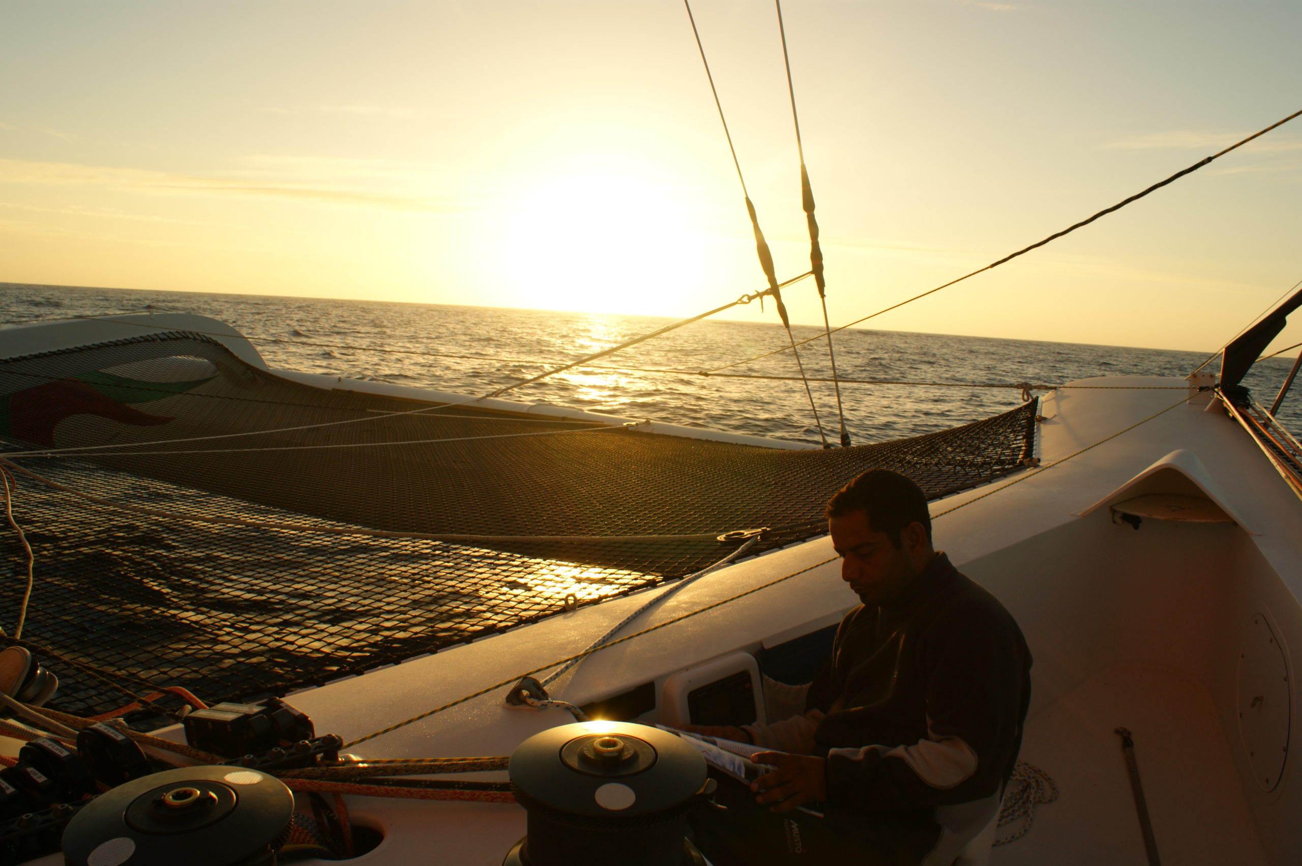
rather pleasant evening
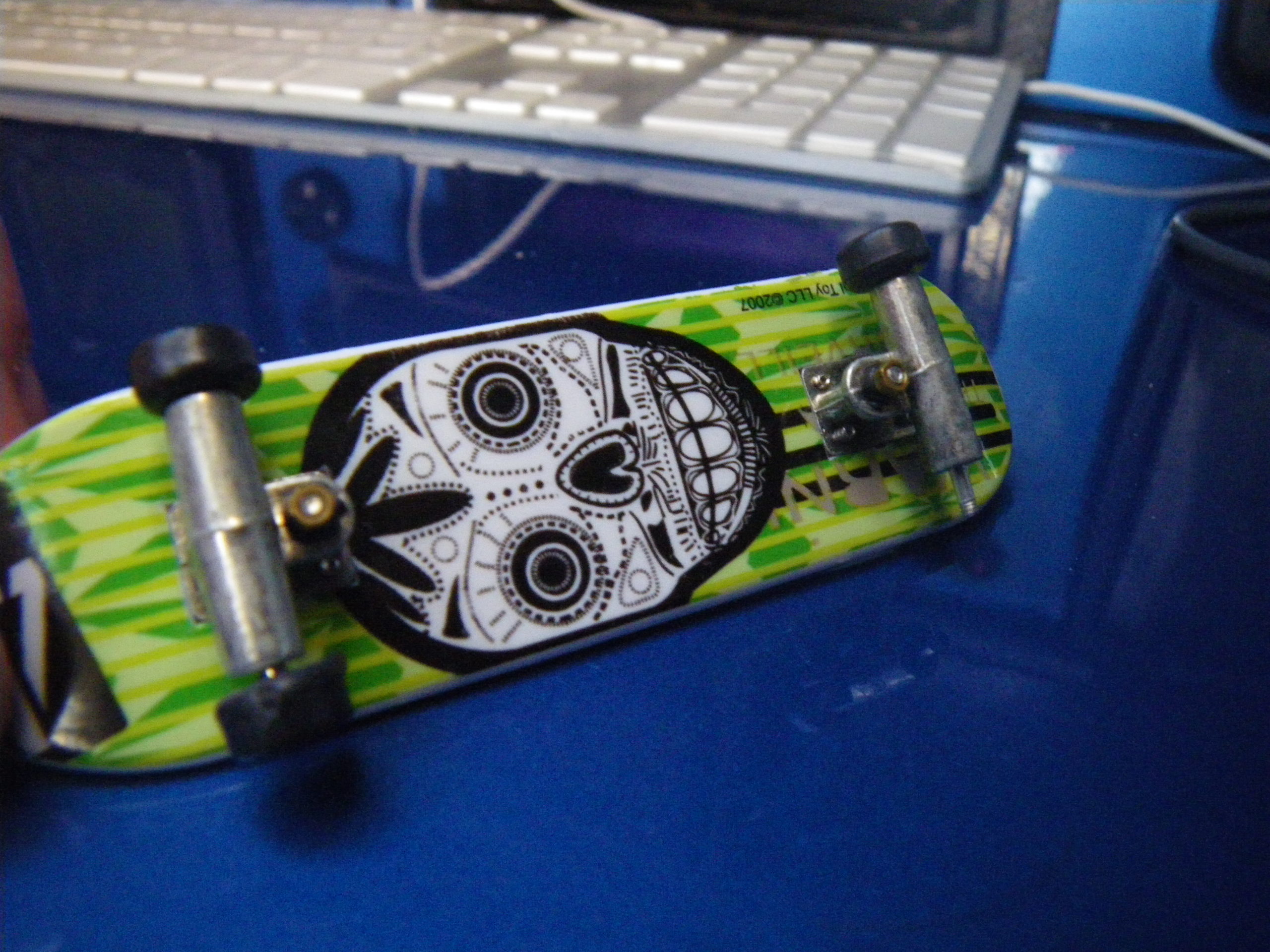
A wheel off our micro skateboard, one of a few pre start gifts we were given
Email from the boat to shore:
From: OmanTri
To: update
Subject: same same
Date: 21/01/2009 02:29:27
Same old same old – not that we are complaining – conditions are very very
nice here, we have 11kts of wind from just E or North, and we are trucking
along quite happily, waiting for the wind to shift through the north a bit
to around 330 so that we can gybe and head more south to avoid the High
Pressure center, before gybing once more into our E direction. Where NZ will
be ahead rather than to the left of us.
There was a heavy due in the morning here, so def need some waterproof
bottoms on to sit on the deck a few hours after dawn it was gone but it’s a
sure sign the climate for us is changing. I guess we have been a day or two
ahead of ourselves in waiting for it to get cold etc. but that’s the
anticipation of getting into the South – we are at 32S today and by tomorrow
somewhere near 37S so we are getting there!
Mohsin was happy this morning as he cut into the Plum cake that we have been
saving to celebrate the football results – nice cake and it’s kept really
really well.
Last night the sunset was fantastic -not a cloud in the sky and we watched
the sun set all the way – no green flash though, before that – after our
work was done on maintainance we ended up in the cockpit – Theirry,
Hoochie,Mohsin and I chatting for an hour or so. Mohsin was telling us
about his family – his brother and sisters, and how great they are to him,
and about his nephews and nieces who came to see us leave 2 weeks ago.
Otherwise life continues to roll along quite happily
Weather Router’s advice:
From: Commanders’ Weather
To: Charles Darbyshire , updateoman ,Musandam
Subject: weather 1430 utc Wed 1-21
Date: 21/01/2009 14:23:13
To: Charles Darbyshire and crew of “Musandam”
From: Commanders Weather Corp
Event: sail around the world
Last Position: 33 52s/ 76 09e at 1200utc Wed, Jan 21, 2009
Prepared: 1400utc Wed, Jan 21, 2009
SummaryÖ Prefer the European routing but continue S until 37-38s then head
E.
1) High pressure is located 32n/87e and will remain stationary next 24-48
hours.
2) As you continue S around the western periphery your winds will back into
the NW.
3) As this happens continue S thru 6 utc Thu down to 38s to avoid lighter
wind to the E
a) Then can head E on port.
4) Meanwhile latest 6 utc GFS model run tracks a low near 38s/68e to 39s/
82e 12 utc Fri to
40s/95e by 12 utc Sat.
5) You want to ride the NW-WNW breeze north of the track of this low
eastward along 38s
after 12 utc Thu to 00 utc Sun.
6) By then this low will be to your SE and its frontal boundary will shift
thru you around 00 utc Sunday
7) When winds shift to W-WSW can go onto starboard and get south of 40in
early next week.
8) Do not see the need to go down to 46s on your GFS routing.
9) Seas will be much higher down there so prefer you stay away in the short
term as weather pattern
looks co-operative to keep you north of 40 into the weekend.
10) It will get much rougher though compared to what it has been as both
winds and seas
increase over the next few days.
RoutingÖ The 39s/87e waypoint from the European is very close to out
estimated position at 12 utc
Fri. Prefer though that you get S next 18 hours
before heading E to stay away from
lighter air to the E.
Then head E between 38-39s NE of fast moving low and
in NW-WNW wind Fri/Sat
Once the cold front overtakes you(around 00 utc
Sun) and winds shift to W-WSW then
onto starboard and can get some southing.
Estimated positions below.
Wind directions are TRUE, wind speed in kts, and time is UTC
Wed, Jan 21 ñ winds lighter E
18: 320-340/10-14 ñ gybe to starboard and head S to avoid light air to the E
WeatherÖVariable cloudiness
Seas 6-10 ft SW swell
Thu, Jan 22 ñ winds stronger to the W and S lighter N
00: 300-320/ 10-14
06: 310-330/ 15-20 ñ now heading E on port
winds increase W to E
12: 320-340/ 15-22 nr 38s/ 79e
18: 300-320/ 18-25
WeatherÖVariable cloudiness
SeasÖ8-12 ft WSW swell
Fri, Jan 23 – now heading E on port
00: 300-320/ 18-25
06: 300-320/ 22-30
12: 300-320/ 25-32 nr 38 30s/86 30e
18: 290-310/ 22-30
WeatherÖConsiderable cloudiness
SeasÖ10-14 ft WSW swell
Sat, Jan 24
00: 290-310/ 22-30
06: 290-310/ 22-30
12: 280-300/ 18-25 nr 38 30s/ 93e
18: 280-300/ 17-22
WeatherÖConsiderable cloudiness with squally showers possible
Seas 10-14 ft ñ WSW swell
Sun, Jan 25 ñ Front moves thru ñ winds back
00: 290-270/ 15-22 now on starboard heading ESE
06: 270-250/ 15-20
12: 240-260/ 15-22 ñ nr 39s/ 100e now on starboard
18:
WeatherÖSqually showers ending then cloudy to partly cloudy
Seas 10-14 ft. WSW swell
Mon, Jan 26
00: 240-260/ 25-35
12: 240-260/ 22-30 nr 41s/ 107e
WeatherÖVariable cloudiness
Best regards,
Tom Mattus
A selection of pictures from today: