Lat: 40 41.25′ S
Long: 8 28.99′ W
Inst Speed: 16.7
Wind Dir: 42
Wind Speed: 23.6
Distance last 24hr: 358.05
Distance to finish: 6392.77
Long: 8 28.99′ W
Inst Speed: 16.7
Wind Dir: 42
Wind Speed: 23.6
Distance last 24hr: 358.05
Distance to finish: 6392.77
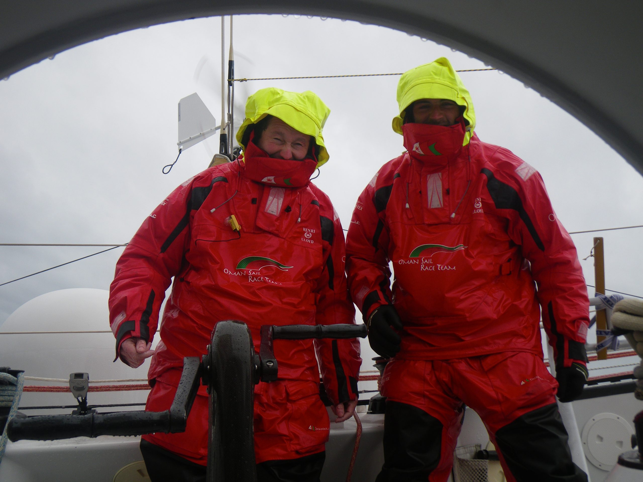
The brits now on watch, whilst I cover for Theirry

Theirry stuck below with damaged thumb takes on some nav duties
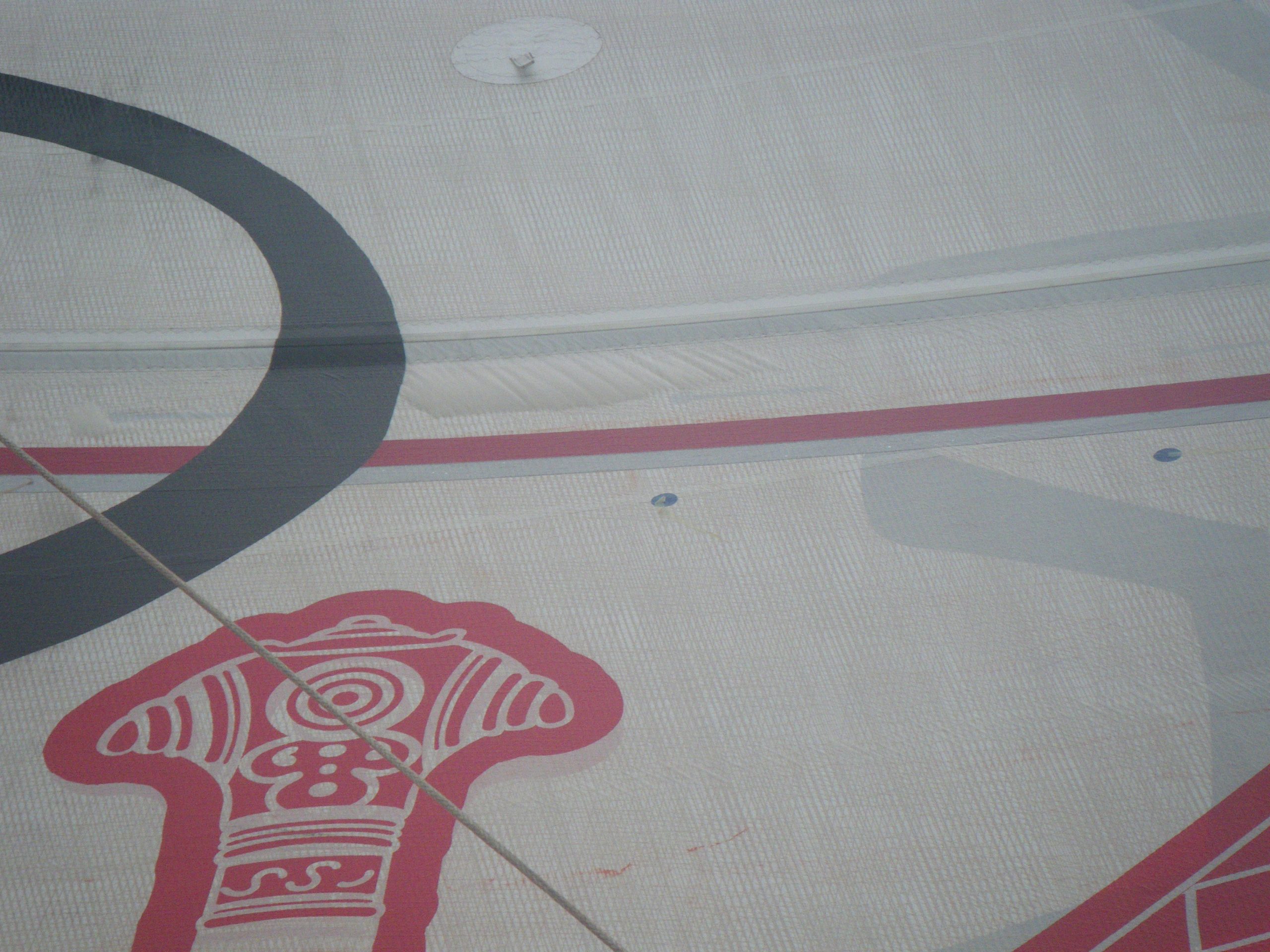
some early signs that the mainsail laminate might be failing
Email from the boat to shore:
From: OmanTri
To: update
Subject: Wednesday morning
Date: 25/02/2009 03:32:24
it’s got rough!
so it’s hard to rtype sorry for that !
i might be brief too – as it’s frustrating not hitting the right keys when
i know i can type failry well..
the keyboard is jumping around a bit and my hands are thrown around a bit
too…
e are sailing at 72 degrees to the wind in around 20-28 kts of wind, on
deck the spray is every 10 secs or so, and faiarly persisant –
frustratingly our wet weate gear is wet…i have wet arms, legs below the
knees and bum. the collar on the tops is impossible to get comfortable, and
when you fnally find a way to secure it that isn”t digging into your
cheak, it collects drips from the hood….you’d think it’d be sorted
nowadays with so much development these last few years.
it wasn’t alwys like this thouh during the dya yesterday it was nice –
still dry on deck, and making good miles in the right direction, a chance to
get some sleep, in preparation of next 36 hours. it’s so rough that staying
in the bunk long enough to falll asleep will be a challenge. Had a nice few
supporters emails too which was good to know that there is live out there –
even if they are going to a James Blunt concert tonight!!!
so this is our life for the next while – perhaps our lasst rough
conditions… we are thankful that the water is warm ( currently 16
degrees ) becuase if it was cold itwould be awful on deck… as it is you
can hunkerdown in you gear and live through it… looking forward to
daylight when i am sure we’ll all be a bit more chatty!
i’ll leave it there and send it – perhpas you;;l get more from us on teh
phone call…
excuse spelling and typos .. to day at leaset
Second email from the boat:
From: OmanTri
To: update
Subject: floating in space
Date: 25/02/2009 09:41:37
when i said it was rough, i meant the sea isn’t too bad, but as we are
giubg qyuckky over it it’s rough onboard!
about an hour into trying to get to sleep and winning for about 10 mins i
found myself floating in space. for a split second i woke up exxpeerinceing
the full force ( or not ) of zero gravity, and thought what a marvelous way
to live, until gravity was restored with avengence… and i cam crashing
down – not on the bunk but on the corner of battery box which isn’t round
or padded ouch – battety box 1 shoulder 0 , it was pitch black so out
bounce back into bed to try to sleep agaim pnly to discover i had a mouth
foll of feathers – the battery box had split a compartment of my sleeping
bag and the featherwers were coming out every where….battery box 2 me 0
so now i got up fond the gaffa tape and taped up the hole – will wait for
moree clememnt conditions to effect a more glamourous repair – but for now
the gaffa tape is working – lucky it’s a compartment near the top – not on
the bottom where my toes would get cold – only a few more days of bag, then
it’ll be put away – but i still need it for these few days.
so my assesment of zero gravity – overrated
Weather Router’s advice:
From: Commanders’ Weather
To: Musandam
Subject: weather Wed 2-25
Date: 25/02/2009 14:05:17
To: Charles Darbyshire and the crew of
ìMusandamî
From: Commanders Weather Corp
Event: sail around the world
Last Position: 40 32s/05 02w at 1200utc Wed Feb 25
Prepared: 1400utc Wed, Feb 25, 2009
SummaryÖExpect a wide variety of conditions into next week with very rough
seas S-SE of South
Africa
1) Gale is centered near 44s/11w at 12 utc Wed and moving ESE.
2) Your NNE winds at 12 utc will back to N then NW ahead of the associated
cold front in the next 12-
18 hours.
3) Wind speeds mostly in the 25-35 kt range but there could be some winds
over 40 kts especially in
developing squalls as the front gets closer.
4) Expect the front to move thru around 12 utc Thu with winds shifting to
W-WSW and slowly
diminishing.
5) High pressure following the front will be near 40s/5w at 12 utc Fri and
will track to near 42 30s/14
30e by 12 utc Sat..
6) As the high approaches your winds will continue to back into the S then
SE by 12 utc Sat.
a) Wind speeds come down 10 kts or less Saturday.
7) Then as the high moves E of you, your winds will continue to back into
the E then NE and increase
to 25-30+ kts by Sunday night .
8) Monday winds may trend more northerly depending on how fast a cold front
approaches from the W
a) This will force you eastward south of the main portion
of the Agulhas current.
9) Sea state is going to become an increasing concern as it builds with the
front next 24 hours.
10) But more so over the weekend as wave model shows a large SW swell
arriving from W to E.
11) This swell could reach 14-20 ft Sat then diminish a little Sun/Mon.
12) But it will become very rough with confused sea state then as winds
become NE
RoutingÖ Not many changes next few days
Once you get the frontal passage and the wind shift to the
WSW go onto starboard and ok
to head ESE Thu/Fri
But need to be careful you do not get into the center of
the high on Sat.
Expect as high approaches from the W and winds back thru SE
you will get forced NE Sat.
As winds back to NE Sunday you will be back on port and
heading ESE-E early next week
S of the main portion of the Agulhas current.
Our route keeps you S of 40s thru Monday. Estimated
positions below.
Wind directions are TRUE, wind speed in kts, and time is UTC
Wed, Feb 25- winds stronger to the W
18: 360-340/25-32
WeatherÖPartly cloudy to cloudy with squally showers developing
Seas increasing to 8-12ft
Thu, Feb 26 ñ winds back and diminish
00: 330-310/25-35 g 40+ in squalls
06: 300-280/25-35
Frontal passage
12: 270-250/22-30, nr 41s/04e
18: 250-230/15-22
WeatherÖSqually showers tapering off and ending after wind shift to WSW then
considerable cloudiness
Seas 10-14 ft
Fri, Feb 27
00: 240-260/17-22
06: 220-240/18-25
12: 210-230/15-22, nr 42s/11e
18: 200-220/15-20
Weather…Cloudy to partly cloudy
Seas 10-14 ft WSW swell
Sat, Feb 28
00: 190-210/10-15
06: 180-200/ 8-12
12: 120-140/ 5-10, nr 41s/18e
18: 080-100/10-15
WeatherÖPartly cloudy
SeasÖincrease to 14-20 ft WSW swell
Sun, Mar 1
00: 060-080/ 15-22
06: 050-070/ 15-22
12: 030-050/ 18-25 nr 41s/ 23 30e
18: 020-040/ 22-30
WeatherÖPartly cloudy to cloudy
Seas 12-16 ft WSW swell confused and rough
Mon, Mar 2
00: 010-030/ 25-32
12: 360-020/ 25-32 nr 41s/ 30e
WeatherÖConsiderable cloudiness
Seas 12-16 ft ñ confused and rough.
Best regards, Tom Mattus
—
PLEASE NOTE: AS OF JANUARY 1, 2008, OUR NEW EMAIL ADDRESS IS :
info@commandersweather.com
Commanders Weather Corp.
Tel: 603-882-6789
A selection of pictures from today: