Lat: 42 23.56′ S
Long: 27 02.70′ E
Inst Speed: 4.9
Wind Dir: 162
Wind Speed: 6.0
Distance last 24hr: 359.72
Distance to finish: 4857.83
Long: 27 02.70′ E
Inst Speed: 4.9
Wind Dir: 162
Wind Speed: 6.0
Distance last 24hr: 359.72
Distance to finish: 4857.83

Email from the boat to shore:
From: OmanTri
To: update
Subject: we are going upwind with a swell
Date: 01/03/2009 04:22:36
The wind has dropped – less than 10 kts for last 5 hours now, the drop came
slowly to start with then in the space of around an hour the winds dropped
from 17 to 9 kts. A bit shift towards the S then the SE accompanied the
reduced wind. Now with the dawn just breaking, we have 6kts of wind, 6 kts
of boatspeed, and are upwind with a swell from the SW pushing us forwards.
It’s chilly on deck – especially yesterday early evening watch, when it
begun to get dark – it was hugely wet on deck, and with water temps down to
13 degrees again, and tight reaching at 25 kts of boatspeed the wind chill
was numbing. With the dawn in these light airs it’s cold on deck, and
although the light airs are a source of frustration, the dry decks are a
welcome relif at least give things 1/2 a chance to dry a little once the
warming sun has appeared over the horizon.
There is still much sucking of teeth about the future weather, with the H
now around us, we probably just need to wait for it to move off , and for
the winds to build from the N before we head E again at speed – for another
day or two before we can finally make the turn to the north and point our
bows towards Muscat, and all that lies between us and our destination.
In passing Cape of Good Hope, and also Cape Agulhas yesterday we have passed
our great capes, whilst important milestones for us, they came and went
without too much ceremony – we gazed north for a min or two, then got on
with the daily routine.I think it’s time to get north, to warmer climates,
and closer to our final goal…. we are making every day count towards that
objectve, and although nice to be able to tick off another headland ( all
be it 450nm north) it’s a place to pass on the way home.
So it’s sunday morning here, and with this new period of calms a bit of a
period of tidying up can begin. Not the full clean up, dry out – we need
to be furher north for that but just a resetting of things that have become
out of place in the last few days scramble E. Then big sunday lunch, and a
kip in front of the telly – we’ll have to wait a while for that part, but
it’s not so far now, and as soon as we can get going again we’ll feel like
we are on our way for sure…. just the Equator as our final mile stone…..
!
enjoy your sunday where ever you are!
Weather Router’s advice:
From: Commanders’ Weather
To: Charles Darbyshire , Musandam ,updateoman
Subject: Weather 3/1/09
Date: 01/03/2009 14:11:40
To: Charles Darbyshire and the crew of
ìMusandamî
From: Commanders Weather Corp
Event: sail around the world
Last Position: 41 28s/27 27e at 1200utc Sun, Mar 1
Prepared: 1200utc Sunday, March 1, 2009
SummaryÖ
1) Hey, weíll be heading N, for home, by the end of this forecast today
2) With your very light ESE wind, the high pressure center must be very
close to you
a) the high is moving E, so winds will become NE shortly and then
increase shortly after that
3) Our goal should be follow the high pressure cell to the E
a) we will be on port tack and when headed, just be comfortable and sail
a decent angle to the E or ESE, but
4) When the winds start to back, we have options
a) when the winds become N, we can sail E and ENE when the winds become
NNW or
b) we can continue to sail quickly to the ESE
c) the cold front will arrive from the SW and S, but I think, when the
winds start to back Tue/Wed, we should start to get some northing in
5) By 1200UTC Mon, the high pressure cell will be near 42-43S/45-46E
a) cold front will slow W of 25E and wait for a 2nd cold front to push it
E
b) NE-N winds will increase as you separate yourself from the high
pressure cell ñ the high will be moving E faster than you will be
6) Winds back a bit and continue to slowly increase Tue into Wed ñ just stay
comfy sailing E or ENE, if
possible
7) As the cold front approaches, winds will become quite light on Thu
a) best angle to the E and NE with the light winds
8) Cold front arrives from the SW on Fri with increasing SE-E winds
a) looks like good sailing thru at least 15S
b) have you going N between 60-65E and it looks better closer to 65E than
60E once we are N of 15S
Wind directions are TRUE, wind speed in kts, and time is UTC
Sun, Mar 1
18: becoming 060-040/12-18, winds will back into the NE and N
Partly cloudy with a small SW swell and increasing NE-N sea state
Mon, Mar 2
00: 030-010/16-22, winds are stronger/further right to the N and
lighter/further left to the S
06: 020-360/16-22
12: 010-350/18-24, near 42 30S/34 55E
18: 350-010/20-25
WeatherÖPartly cloudy. NE-N seas increasing to 6-10 feet
Tue, Mar 3
00: 340-360/20-25
06: 340-360/20-25
12: 340-360/20-25, near 41 50S/42 45E
18: 330-350/20-25
WeatherÖPartly to mostly cloudy with a N-NW seas of 7-10 feet
Wed, Mar 4
00: 330-350/22-28
06: 330-350/20-26
12: 330-350/18-24, near 39 50S/50 45E
18: 340-360/16-22
WeatherÖPartly to mostly cloudy.
Seas of 6-10 ft with a N-NW swell
Thu, Mar 5
00: 340-360/14-20
06: 350-010/14-7
12: 360-320/12-6, near 37 50S/58E
18: 360-320/ 8-4
WeatherÖPartly to mostly cloudy. Seas NW-N diminishing to 4-7 feet with an
increasing SW swell.
Fri, Mar 6
00: 180-140/ 6-12
12: 140-120/16-22, near 33S/62E
A few squally showers as the cold front passes then cloudy to partly cloudy.
SW-S seas increasing
to 6-9 feet overnight
Best regards, Ken Campbell
—
PLEASE NOTE: AS OF JANUARY 1, 2008, OUR NEW EMAIL ADDRESS IS :
info@commandersweather.com
Commanders Weather Corp.
Tel: 603-882-6789
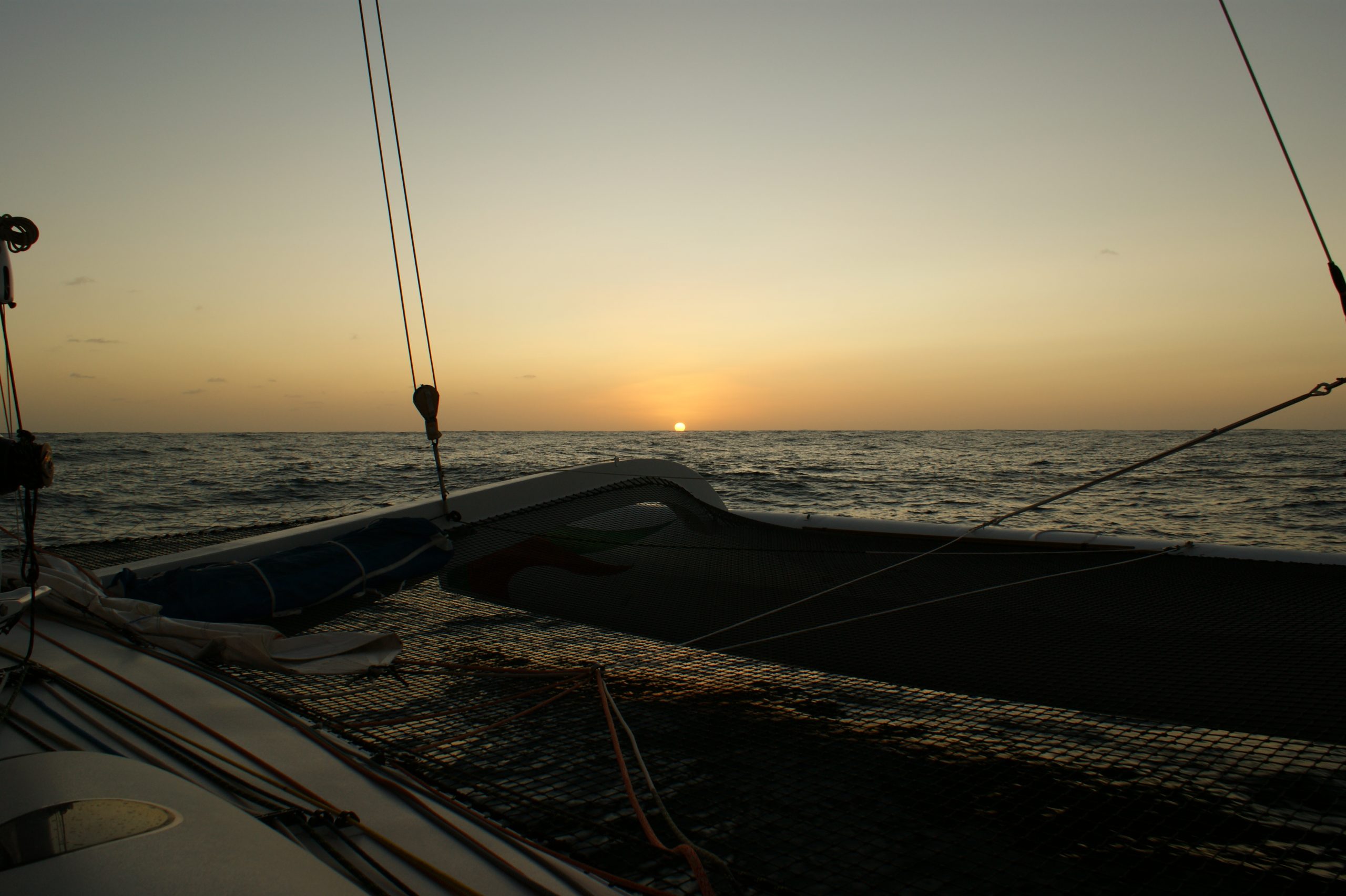
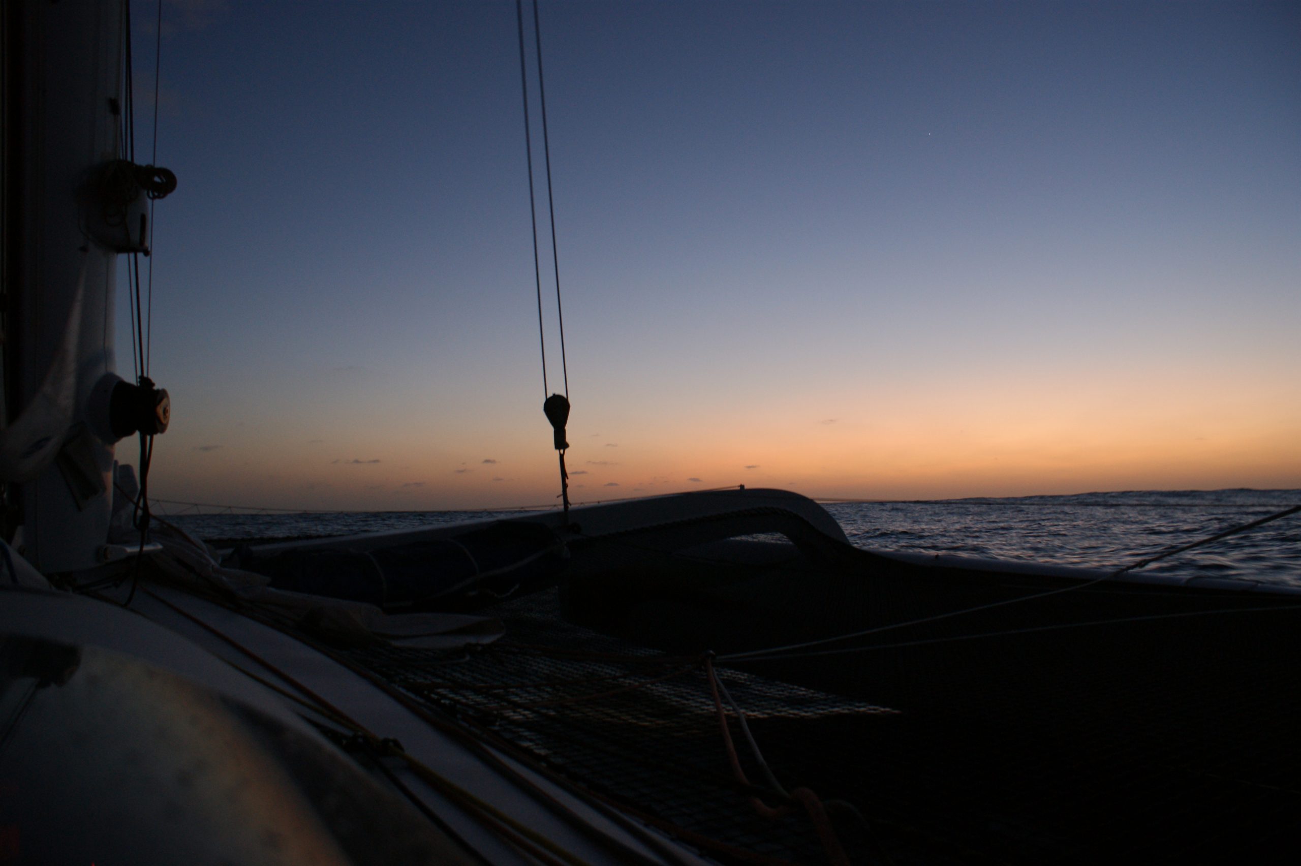
A selection of pictures from today: