Lat: 46 58.77′ S
Long: 134 10.45′ E
Inst Speed: 21.2
Wind Dir: 344
Wind Speed: 16.2
Distance last 24hr: 422.61
Distance to finish: 15402.63
Long: 134 10.45′ E
Inst Speed: 21.2
Wind Dir: 344
Wind Speed: 16.2
Distance last 24hr: 422.61
Distance to finish: 15402.63

Nick ‘Hooch’
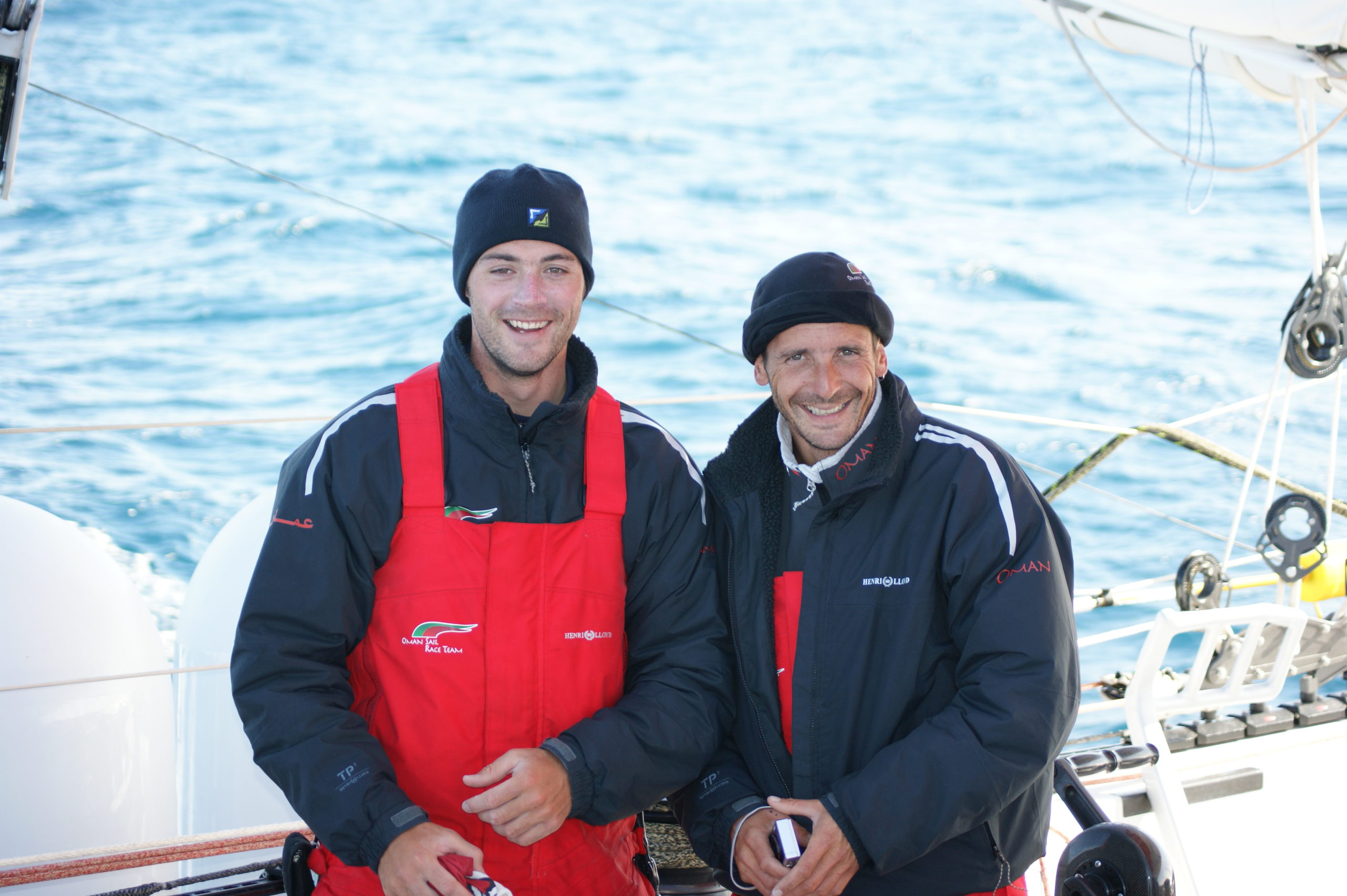
Watch Buddies

Theirry
Email from the boat to shore:
From: OmanTri
To: update
Subject: 29th January
Date: 29/01/2009 03:43:17
Since yesterday at this time we have covered nearly 430nm – we have been
sailing in a pretty straight line, where we want to go in wind, and sea
conditions we dared not have chosen for ourselves. Considering we are 46,
almost 47 degrees south the conditions are sensational – suncream is
required on deck, and we have managed to sail down a lane between the High
pressure to the north, and the Low pressure to the south – looking at the
satellite pictures that download automatically onboard there is a coridor
around 170nm wide – and we have just been sailing down it, clear skies, nice
wind – great direction. Soon the winds will shift a little to the west
allowing us to rotated our heading more to the East as we don’t want to get
too much further south, and in a day or so we’ll start to head NE towards
the Cook Strait, conditions will change a bit as we get a front catching up
with us – and that will almost certainly drop the tempreture somewhat and be
a bit squally for a while, then we should be good for a nice sail up the
Tasman Sea to New Zealand.
Mohsin said to me today that he can’t believe our luck – the weather has
been so good, and getting to this point on the globe without needing gloves
is really incredible – we are just so lucky. This is not what we had
prepared him for – each of us giving him little keep warm ideas…. the
weather will change eventually, it always has, and always will do, and
those tips for keeping warm will come in very handy!
Else where onboard the steady 3hrs on 3hrs off continues, and today sees the
first of our southern ocean food bags – there isn’t too much difference –
just some of the meals are 800kcal meals rather than 500 kcal of the
standard food- we have only got to them now as we are going well against our
80 day schedule – not that it matters we are eating plenty and don’t need to
extra calories now to keep warm. The 80 day schedule has been marked on our
electronic charts since the start – but we have paid little attention to it
thus far – in the indian ocean it’s progress was relentless as we struggled
through the doldrums, but now the comparisons are slightly easier to draw,
and we can see that by crude calculation we are something like 3 full days
ahead of this pace boat – this is due to the recent fantastic few days runs
which have been well in excess of what the pace boat is capable of. I did
some calculations earlier and our average VMC for the trip so far is 12.2.
kts – we have sailed more miles than that so our actual average speed
through the water is quite a bit more than that – but this is the average
rate at which we have been reducing our distance to finish by since the
start – multiply that out by the number of miles give an elapsed time… you
can do the maths on that – with the usual warning that the speed can go
down as well as up etc.etc etc. but it comes to quite a realistic time. We
can improve on it though and the next few weeks after New Zealand will show
just what’s possible – we could have quite a few 400+ mile days and that’ll
put a big leap on the paceboat – it’s all too far away to dare to think
about it – however tempting – but these are the calculations that are beind
done privatly watch after watch by each of us onboard,just how quick can we
be. It’s not that we want to get it overwith , we are competetive and we
wanna put in a good time!
As the sun rose this morning ( remember it rises at 2000hrs gmt so it a bit
confusing which day is which ! ) I did have a pag of guilt. That what we
are doing is hugely indulgent, there are so few things you do for this long
without having to do normal day to day stuff, shopping, putting the rubbish
out, fill the car up with fuel,paying bills all the things that are going on
every day in normal life that we just don’t have to do – yet we do go
shopping – I open a new food bag and put it into the storage bags ( our
kitchen cupboards), we do put the rubbish out – we tie up the rubbish bag,
and take it to the sail locker for storage, we do fill the car up – every 5
days or so I fill the generator’s fuel tank from the main tank, it’s just
that it’s all here to hand. So sorry for everyone that is doing the normal
things in life today, expecially those people who are doing it for
us, -we’ll be back to reality really soon – just let us indulge ourselves
a while longer.
Weather Router’s advice:
From: Commanders’ Weather
To: Charles Darbyshire , updateoman ,Musandam
Subject: weather resend
Date: 29/01/2009 15:01:09
To: Charles Darbyshire and the crew of
“Musandam”
From: Commanders Weather Corp
Event: sail around the world
Last Position: 47 16s/137 01e at 1130utc Thurs, Jan 29
Prepared: 1300utc Thursday, Jan 29, 2009
Summary
Will have to see how pattern is shaping up over the next couple of days
whether to go towards the Cook Strait or further south ñ will have to watch
speed of the high ñ potential is for some easterlies around the Cook Strait,
though ñ have done option for either course and figure we can make a
decision tomorrow or Sat depending on how things look with the newer data
1) NW flow will be backing over the next 12-24 hours
2) Flow will become fairly light around 00utc Fri and stay that way thru
12utc
a) will have stronger wind to the south, lighter to the north
3) Winds will become more W and WSW as well
a) figure to come more ESE around 00utc Fri and then on port around 12utc
Fri with clocking wind
4) The NW or WNW wind will not last all that long though, with winds again
backing around 18utc Fri and becoming more WSW
5) Increasing SW wind is then likely during Sat
a) front will approach and pass around 18utc Sat
b) will have some gusty SW flow and also a few squalls around
6) Will then watch high pressure that will be coming east behind the front
7) The high will be close to 46-47s/138e at12utc Sat and then head towards
46-47s/155e by 12utc Sun
8) The high will continue to head towards NZ and tend to redevelop east of
there as we get to early next week
9) We will want to stay E of the high
10 The question then is does the flow become NE to E for a time around the
Cook Strait
11) With the high reforming east of NZ early next week, a period of NE or E
flow is likely
a) probably will be light and should then back into the NW as we get to
later Tues
RoutingÖ
Towards 46 15s/141e then on ESE heading to near 46 50s/145e then to 46s/153
30e ñ around 18utc Sat we shift course more NE and head towards 40-40
40s/170e to the Cook Strait
Wind directions are TRUE, wind speed in kts, and time is UTC
Thu, Jan 29 ñ Winds lighter N and stronger S
18: 300-270/11-16
WeatherÖPartly cloudy to cloudy with a chance of a couple squally showers.
SW swell of 5-8 feet
Fri, Jan 30 ñ Winds lighter N and stronger S
00: 280-250/ 8-14, on starboard
06: 270-300/10-15 – wind more left and lighter to the N
12: 310-330/10-15, near 46 50s/145e ñon port
18: 300-270/12-18, getting ready to gybe
WeatherÖVariable clouds with a few widely scattered showers.
W-SW swell 5-7 feet
Sat, Jan 31
00: 240-260/12-18, gust/squall to 20-25 kts
06: 230-250/18-25, gust/squall to 30 kts
12: 230-250/20-28, near 46s/153 20e
18: 230-210/20-30
WeatherÖConsiderable cloudiness with scattered squally showers.
WSW swell of 8-10 feet
Sun, Feb 1
00: 200-180/20-25, heading more ENE
06: 170-190/17-22, heading more NE as flow backs
12: 150-170/14-19, near 44 55s/162 10e
18: 150-170/14-20 trying to stay ahead of the high
WeatherÖPartly cloudy
Seas 5-7 ft
Mon, Feb 2
00: 170-190/20-25
06: 180-200/15-20
12: 340-360/10-15, near 40 35s/170e
18: 060-080/ 8-14
Partly cloudy.
Seas 5-7 ft
Tues, Feb 3
00: 350-010/ 6-12 passing thru Cook Strait
12: 310-330/10-15, near 42s/177e
Best regards, George Caras
—
PLEASE NOTE: AS OF JANUARY 1, 2008, OUR NEW EMAIL ADDRESS IS :
info@commandersweather.com
Commanders Weather Corp.
Tel: 603-882-6789
A selection of pictures from today: