Lat: 47 54.85′ S
Long: 40 05.23′ W
Inst Speed: 24.7
Wind Dir: 309
Wind Speed: 27.3
Distance last 24hr: 358.84
Distance to finish: 7782.3
Long: 40 05.23′ W
Inst Speed: 24.7
Wind Dir: 309
Wind Speed: 27.3
Distance last 24hr: 358.84
Distance to finish: 7782.3

It’s not always sunny on watch
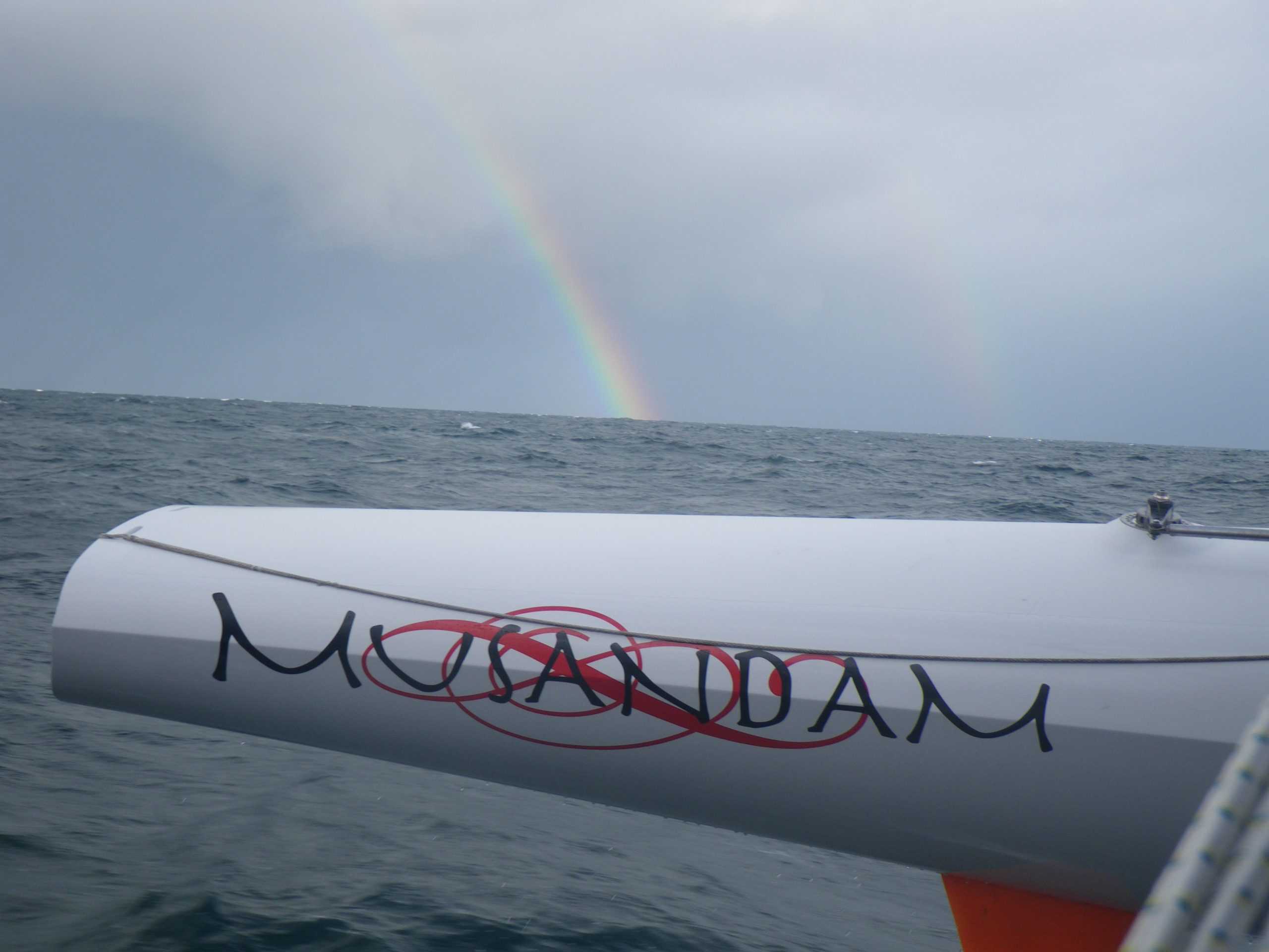
rainbows mean rain
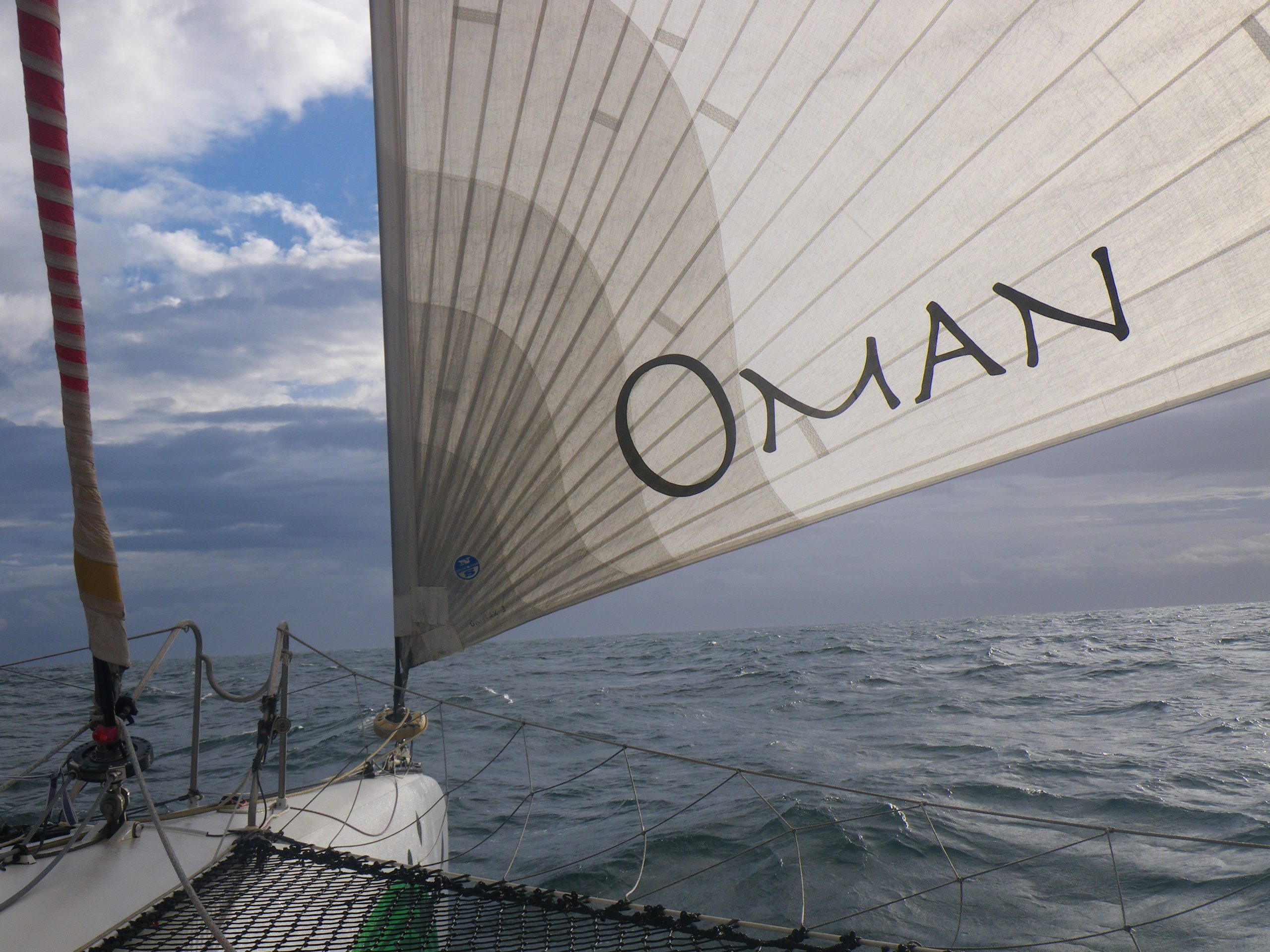
gennaker on = going fast even well eased
Email from the boat to shore:
From: OmanTri
To: update
Subject: delayed update
Date: 21/02/2009 07:25:23
morning all,
sorry it’s a bit late this morning – we have had a bit of night – some
windy clouds in the darkest of dark nights ( yes much darker than the
inside of your hat). It had been a grey afternoon, at one point the light
was perfect black and white everything was grey scaled – apart from our red
wet weather gear, and the red and green branding on sails,everything else
was a shade of grey. Once the sunset there was incredible phosporesence –
probably the best of the trip so far, a big carpet for the main hull, and a
splash of fire every time the windward rudder broke the surface of the
water. I can remember similar conditions on a small trimaran in the Irish
Sea, on the way to Fastnet. In fact these last 24 hours we could have been
sailing in the English Chanel, Loik and I were discussing it, and it really
felt like it could be the case, the two differences – no traffic, and it
was warmer!
Just after dusk the wind picked up – peaking at 34 kts, with main and
gennaker fully eased, we went for the furl not an easy job in so much wind
( normally the gennaker would be down and in it’s deck bag way before this
windspeed) but we were lucky, and got a good furl, and sent the solent jib..
At the end of the night with the winds lower ( and under some pressure to
get our skates on to try to miss some bad weather ahead) we once again
sailed with the gennaker, and have now gybed back to the NE and are heading
pretty much where we want to go! We watch the skyies for any sign of the
retunin squalls they are fairly easy to manage so long as you are prepared
for them, and so long as you can get the headsail away neatly
Have tried to send some video bak this morning – but it’s stll slow – wil
keep trying
will send this shortened update, and may try to put something longer
together for later!
Weather Router’s advice:
From: Commanders’ Weather
To: Musandam
Subject: Weather 2/21/09
Date: 21/02/2009 13:41:57
To: Charles Darbyshire and the crew of
“Musandam”
From: Commanders Weather Corp
Event: sail around the world
Last Position: 47 30s/38 22w at 1215utc Sat Feb 21
Prepared: 1230utc Saturday, Feb 21, 2009
SummaryÖ
1) The 1 feature that bothers me the most of all, is the potential for a
gale moving SE from Punta del
Este ñ these systems can be very, very nasty in this part of the World
2) Also, ice on this portion of the trip can be a problem, so I would take
the 45S/20W mark as important
3) 2 fronts on the weather map at 1200UTC today
a) 1st is E of you at 50S/28W to 41S/40W
b) you are between this front and the 2nd front near 50S/36W to 48
30S/40W
c) see you are sailing E with a west wind ñ interesting, but think port
is favored while we are in-between the fronts, so a nice quick port gybe
will be fine
4) 2nd cold front will catch you around 2100UTC today
a) winds will shift quickly into the SW and S
b) this will be a colder, gusty, squally wind, so unstable
c) starboard, but I would try to aim for 45-46S/30W. I have you getting
there around 1200UTC Sun. If faster, then I would favor 46S over 45S and if
slower then 45S is okay
d) goal will be to let the high pressure pass by to the N and then get
our northing in. The northing becomes very important before the mid-week
gale
5) 1200UTC Sun will see
a) high near 42S/45W and moving ESE
b) weak cold front near 50S/48W, but this should not be a weather issue
for you
c) low starts to form N of the Rio de Plata over South America
d) S and SW wind will slowly veer during Sun and Sun evening
e) I would hold starboard until winds are more 260-270 and then go to
port ñ if we gybe early then we could run into the high pressure (5a), but
we do want to stay NW of 45S/20W ñ this should be a priority
and we can deal with the high pressure later. Bottom-line, make certain you
clear 45S/20W to the N
f) winds will become lighter and veer, as you sail NE on port, but would
like to get as far N as 42-43S by 15-20W. Further N and NE is better, but
probably not possible with the high pressure cell there
6) 1200UTC Mon will see
a) high pressure near 41-42S/20-24W and moving E
b) this high should keep the low near 35S/22W from moving S until the
approaching gale catches it Tue night/Wed
c) weakening cold front to the SW of you near 48S/30W to 46S/40W should
not be a weather issue, but
d) the developing gale offshore Uruguay needs to be watched carefully.
Storms coming from that direction, in this part of the South Atlantic, can
be very nasty!
e) once we get into the NW winds on Mon night/Tue, straight E as quickly
as possible and if can get more northing, that will be helpful
7) Right now, it looks real bad on Wed and improving Thu
a) worst conditions will be while on port and being as far N as possible
will help
RoutingÖ
1) Port gybe and going quickly NE until the 2nd front passes
2) When winds are SW and S, starboard gybe and going E , aiming for
45-46S/30W
a) faster than expected then favor 46S/30W and slower, we can go further
N
3) Gybe between 00 and 06UTC Mon, when winds become more westerly
a) we WANT to be NW of 45S/20W
4) Once the high pressure clears out of the way Mon and Mon night, as
quickly as possible to the E
and ENE with the increasing NW and N on Tue
Wind directions are TRUE, wind speed in kts, and time is UTC
Sat, Feb 21
18: 250-280/16-22
Partly to mostly cloudy with a few scattered squally showers as the
2ndfront passes. W-SW seas up to 10-15 feet tonight
Sun, Feb 22
00: 230-200/20-26, gust/squall 35
06: 210-190/22-28, gust/squall 35
12: 210-230/18-24, gust 30 near 46S/just E of 30W
18: 220-250/17-23, we may be S of 46S
WeatherÖSqually showers end then cloudy to partly cloudy
Seas SW and W 10-15 feet, but improving overnight
Mon, Feb 23
00: 230-260/16-22
06: 240-270/14-20 and on port
12: 270-300/16-10 near 43 40S/22 30W
18: 270-300/10-15
WeatherÖPartly cloudy with SW and W seas down to 5-7 feet
Tue, Feb 24
00: 290-320/14-7
06: 300-330/ 8-12
12: 340-360/10-15 near 42 30S and just E of 15W and would prefer a bit more
northing, if possible
18: 360-020/12-17
WeatherÖIncreasing clouds with rain and squalls arriving overnight. Seas
becoming NW and N, increasing to 15-20 feet overnight
Wed, Feb 25
00: 010-030/22-32
06: 010-030/30-35, gust 40-45
12: 360-020/40-45, gust 50-60 near 43 40S/6W
18: 360-330/40-30, gust/squall 50-60
WeatherÖRain and squalls likely. Very rough with NW-N seas at least over 20
feet
Thu, Feb 26
00: 320-280/30-40, gust/squall 50 as the cold front passes
12: 300-270/20-30, gust 35 on port and going NE
Changeable skies and scattered squally showers. Seas becoming W and
improving to 15-20 feet
Best regards, Ken Campbell
—
PLEASE NOTE: AS OF JANUARY 1, 2008, OUR NEW EMAIL ADDRESS IS :
info@commandersweather.com
Commanders Weather Corp.
Tel: 603-882-6789
A selection of pictures from today: