Lat: 39 40.17′ S
Long: 51 43.63′ E
Inst Speed: 14.3
Wind Dir: 261
Wind Speed: 26.8
Distance last 24hr: 324.0
Distance to finish: 3965.78
Long: 51 43.63′ E
Inst Speed: 14.3
Wind Dir: 261
Wind Speed: 26.8
Distance last 24hr: 324.0
Distance to finish: 3965.78
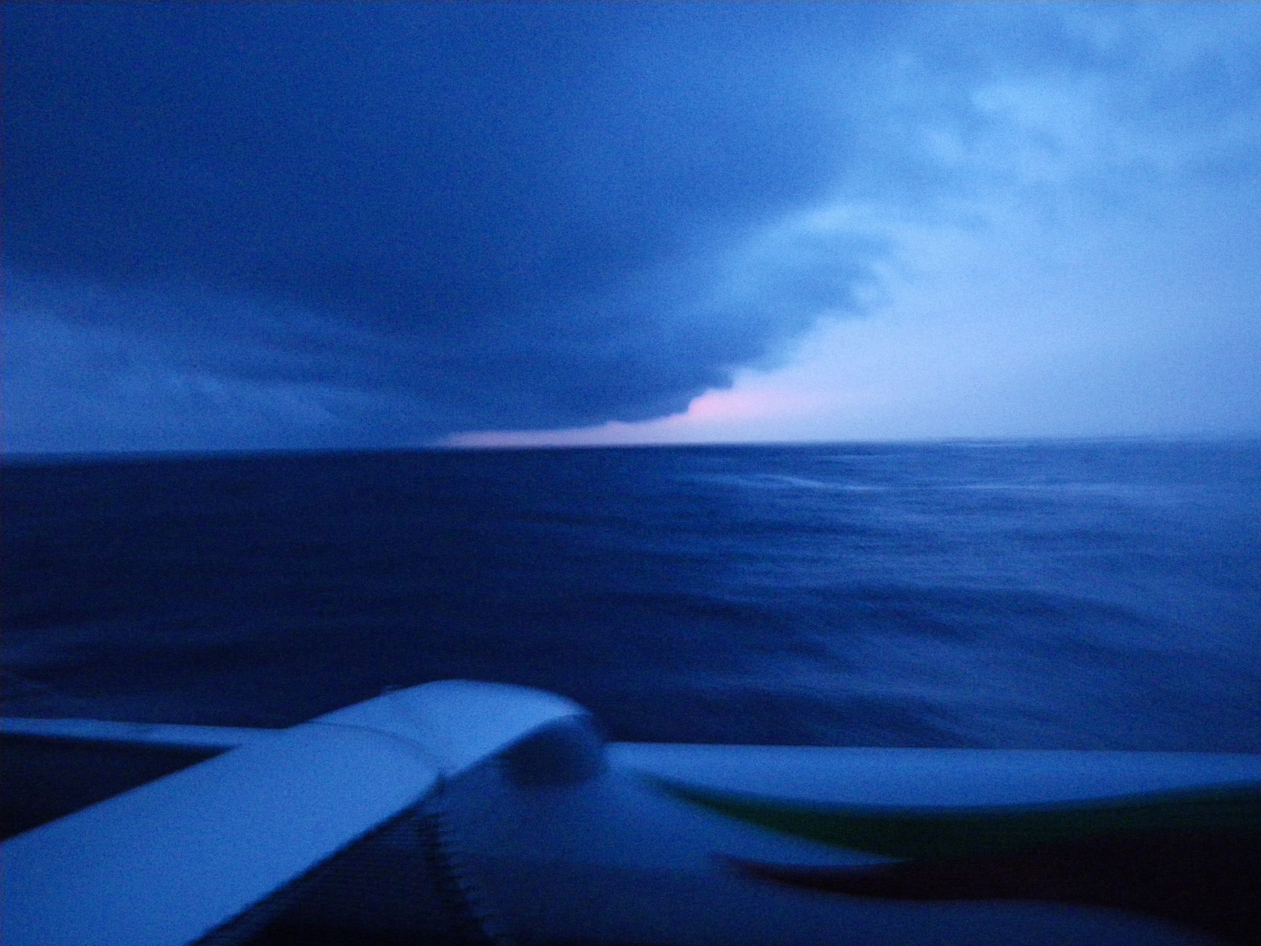
darkness photography has it’s challenges
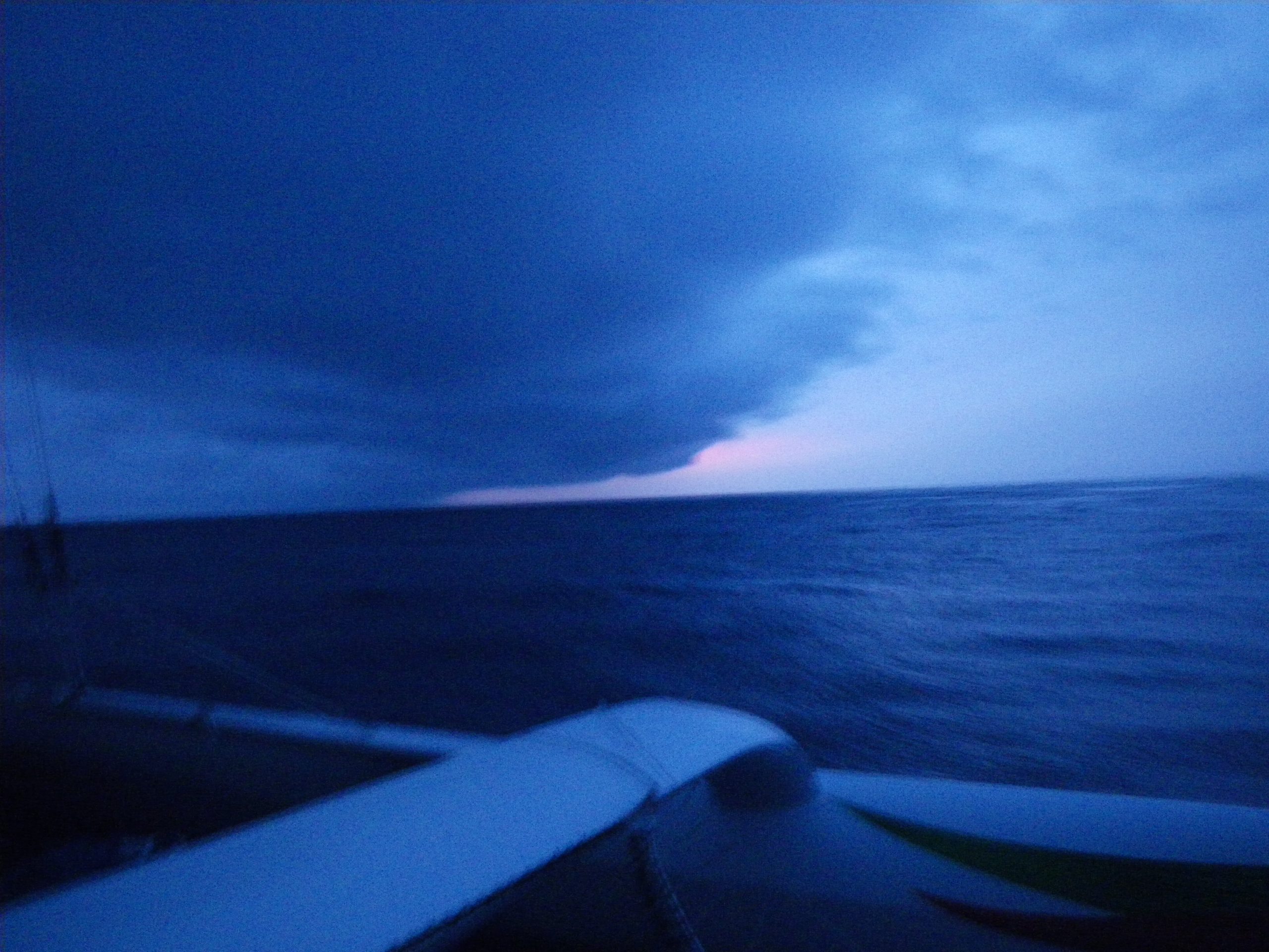
but the dramatic skies are worth trying to capture
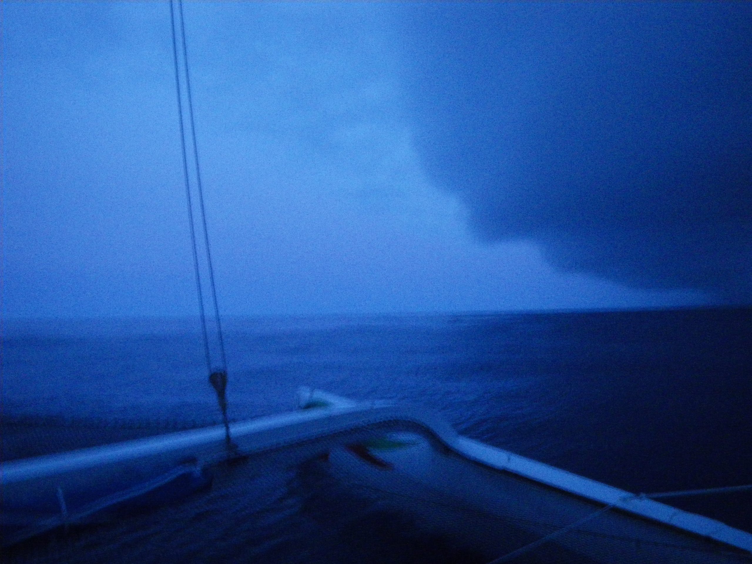
these clouds can carry lots of wind with them
Email from the boat to shore:
From: OmanTri
Date: Thu, 5 Mar 2009 02:53:06 -0000
To: update
Subject: BIG SHIFT
Day 56
So the wind has started to shift – in one 15 min period the wind shifted 130
degrees – we have gybed and are heading 070 degrees on stbd in a SSW wind.
One big cloud was all it took to signify the shift’s arrival, and 15mins
later we were heading off in a similar direction on the other gybe. The
major news though is an end ( for now) of the last 3 days of wincing at
every wave that smashed into the boat. The noise and the impacts were just
unbelievable, at times during the day yesterday we weren’t even able to use
the phrase that we have used all this trip “well, it could be worse” it’s
hard to see how it could have been any worse – if you recorded the motion
and the noise you wouldn’t be allowed to run it as a fairground ride, and
you wouldn’t be allowed to use as much water as would be required to
reproduce the waves washing the boat. It was by far the roughest and most
dangerous for the boat of the trip – a cumulation of 3 different swell
directions, and sea driven waves – unreal. In the front in the bunk next
to the generator sleep was impossible until a break in the sea and wind.
Now on this new gybe the sea is still a bit of a mess, but it should slowly
straighten up, and certainly there are much fewer of the massive impacts
that worry so much.
All through the day yesterday we were being thrown around down below and
pumelled by the waves on deck, it’s going to be such a pleasure to get N
into warmer climates, where we can complain about the tempreture, and how
dry it is. Getting dry again will be the greatest pleasure though, and not
having to put on so many layers, and not have to worry that the waterproofs
are not waterproof!
Our routing from here takes us NE until noon on friday afterwhich we should
be well into some E winds to take us due north – heading for a point around
450nm E or Runion Island, after wihich we have a battle to fight with the
doldrums, up to the equator, and then lightish upwind conditions to
muscat – sounds easy, but the last two weeks are going to be a challenge – i
just hope the waves behave.
Weather Router’s advice:
From: Commanders’ Weather
To: Musandam
Subject: Weather 3/5/09
Date: 05/03/2009 14:12:59
To: Charles Darbyshire and the crew of
ìMusandamî
From: Commanders Weather Corp
Event: sail around the world
Last Position: 38 19s/54 33e at 1230utc Thu, Mar 5
Prepared: 1300utc Thursday, March 5, 2009
SummaryÖ
1) Cold front looks to have passed you. Your winds will back and slowly head
you
2) Not completely without a potential low pressure problem – low is forming
near the S or SW
corner of Madagascar
a) low will move S and then SSW to 29-30S/40-42E by 1200UTC Tue and
33-34S/35E by 1200UTC Wed
3) Trailing high pressure near 42-43S/35E will move E to 42-43S/40-45E
a) the low will pass to the SW and W of the high, but
b) satellite imagery suggests the low could be further E than I expect
and this is where the problem comes in ñ the low could force the ESE and E
trade winds to back into the NE, which would not be nice
c) the best way to minimize this threat is to be further E
4) If your boat speed is similar to my estimate, then my route is as far W
as you can go
a) if you are faster, then you can go my route with a higher degree of
safety, but if slower, the low will be closer and we need to go more ENE/E
of my route over the next 12-24 hrs
5) Your winds must be backing thru the S into the SE right now
a) think we may see easterlies, probably light wind speeds, later tonight
ñ try to keep getting a little easting with the easterlies, so more
reaching/slightly upwind. Do not want to get into the strong NE winds near
the low
b) winds may not increase until Sat night/N of 32S ñ better to be along
or E of my suggested route. West of my route may not be good at all!
c) we may finally be N of the low by late Sat/Sun night and then we sail
as fast as possible to the N or a little east of N in the trade winds
6) Long term plan
a) doldrums look to be near 10-12S and along 60E looks like a narrow S to
N doldrums area
b) winds will become W and NW north of the doldrums ñ we may end up
aiming at the Maldives, but
c) winds will back from the NW, into the N and NE, so a right shift. We
will need to be on the right side of the race course before this right
shift, so aiming at the Maldives will be fine and when the winds back into
the NE, we tack to starboard for Oman
RoutingÖ
1) No further E than 37S/57E
2) Sweat spot crossing 35S looks to be around 57 30E to 59E
a) then N as best you can and not get pulled W of 57E again, even if
headed
3) Once the low has passed or we are N of the low, we want to get over to or
a little east of 60E
a) we can sail fast N, but if winds back a little bit, we need to reach
60E or a little bit E of it
Wind directions are TRUE, wind speed in kts, and time is UTC
Thu, Mar 5
18: 200-160/ 6-12 ñ winds very light to your NE and stronger to your S-SW
WeatherÖPartly to mostly cloudy, chc of a few squally rain showers,
especially later tonight. N-NW swell diminishing to 3-6 feet and increasing
SW-S swell, but still 3-5 feet or less
Fri, Mar 6
00: 120-080/ 5-10
06: 100-120/11-17
12: 090-060/ 8-14, nr 34 20s/58e ñ would prefer you are a little further E,
but okay here
18: 080-100/12-18
Weather…Mostly cloudy with a scattering of squally showers possible. Some
NW swell, but mainly SE swell of 4-7 feet
Sat, Mar 7
00: 070-090/17-23, near 31 20s/57 40E, further W the winds are stronger and
more NE, but to the E, the winds are lighter and more E
06: 070-090/17-23
12: 070-090/22-12, near 27 55S/57 20E, winds will diminish and veer once the
low has passed you
18: 080-100/13-18
WeatherÖCloudy to partly cloudy with the showers ending. NW swell ends and
seas mainly SE-E 4-7 feet, once the low passes, but before then it may be
quite rough
Sun, Mar 8
00: 090-110/14-20
06: 100-120/14-20
12: 110-130/14-20 nr 22s/59e
18: 110-130/15-20
WeatherÖPartly cloudy, maybe a brief trade wind shower. E and ESE seas up to
6-10 feet
Mon, Mar 9
00: 110-130/12-17
06: 120-140/13-18
12: 110-070/10-15, near 15 45S/60 30E
18: 100-080/11-17
WeatherÖPartly cloudy, maybe a shower near 12S. Seas ESE and SE at 4-7 feet
Tue, Mar 10
00: 100-080/ 8-14
12: light/variable becoming 260-300/ 5-10, near 10 10S/61E
WeatherÖPartly cloudy, any shower threat ending with a wind shift into the W
and NW. N and NW swell increasing to 4-7 feet
Best regards, Ken Campbell
—
PLEASE NOTE: AS OF JANUARY 1, 2008, OUR NEW EMAIL ADDRESS IS :
info@commandersweather.com
Commanders Weather Corp.
Tel: 603-882-6789
A selection of pictures from today: