Lat: 36 36.15′ S
Long: 57 04.03′ E
Inst Speed: 11.6
Wind Dir: 170
Wind Speed: 10.0
Distance last 24hr: 333.30
Distance to finish: 3709.62
Long: 57 04.03′ E
Inst Speed: 11.6
Wind Dir: 170
Wind Speed: 10.0
Distance last 24hr: 333.30
Distance to finish: 3709.62
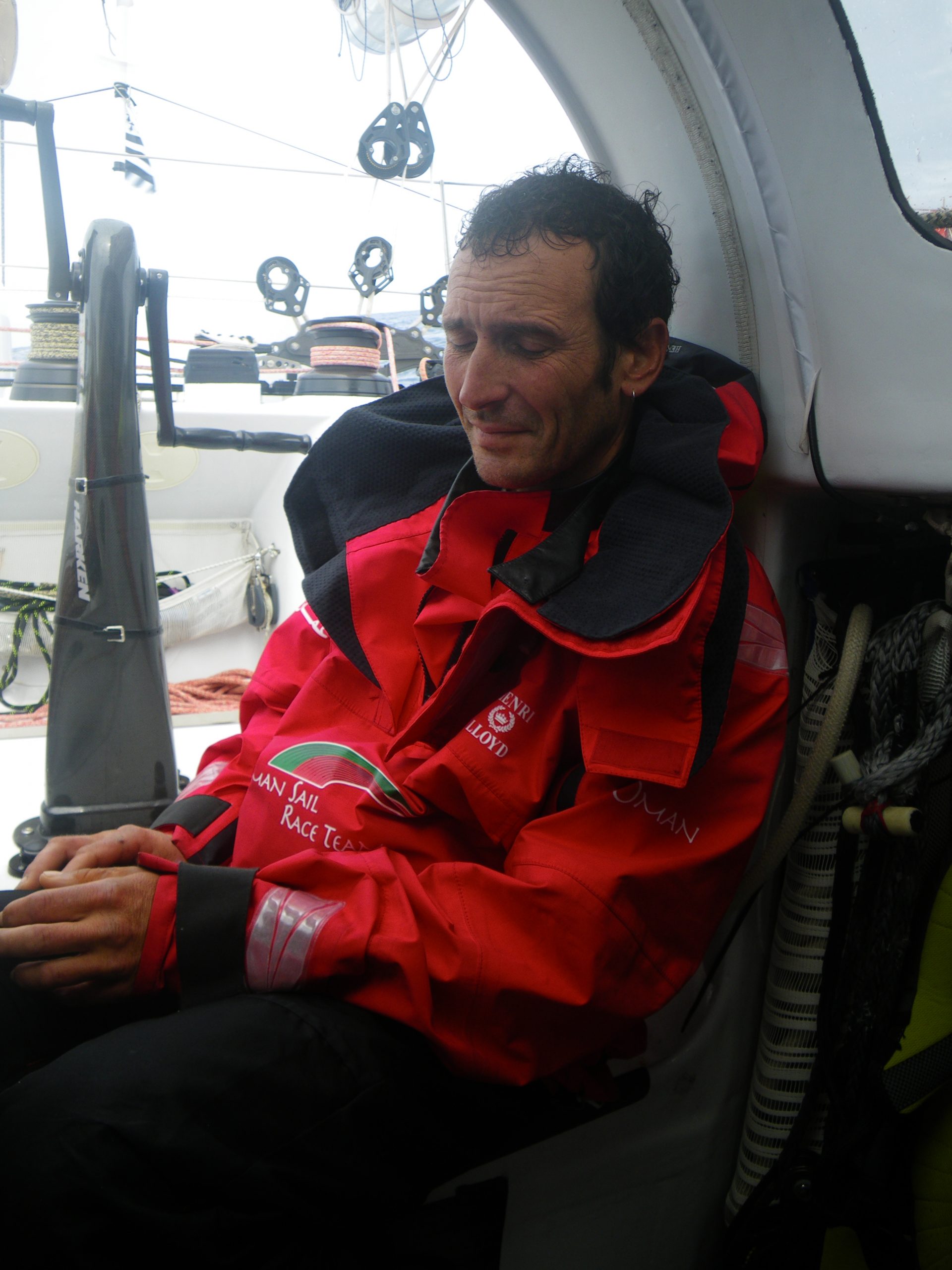
Theirry’s thumb improving meaning some time on deck
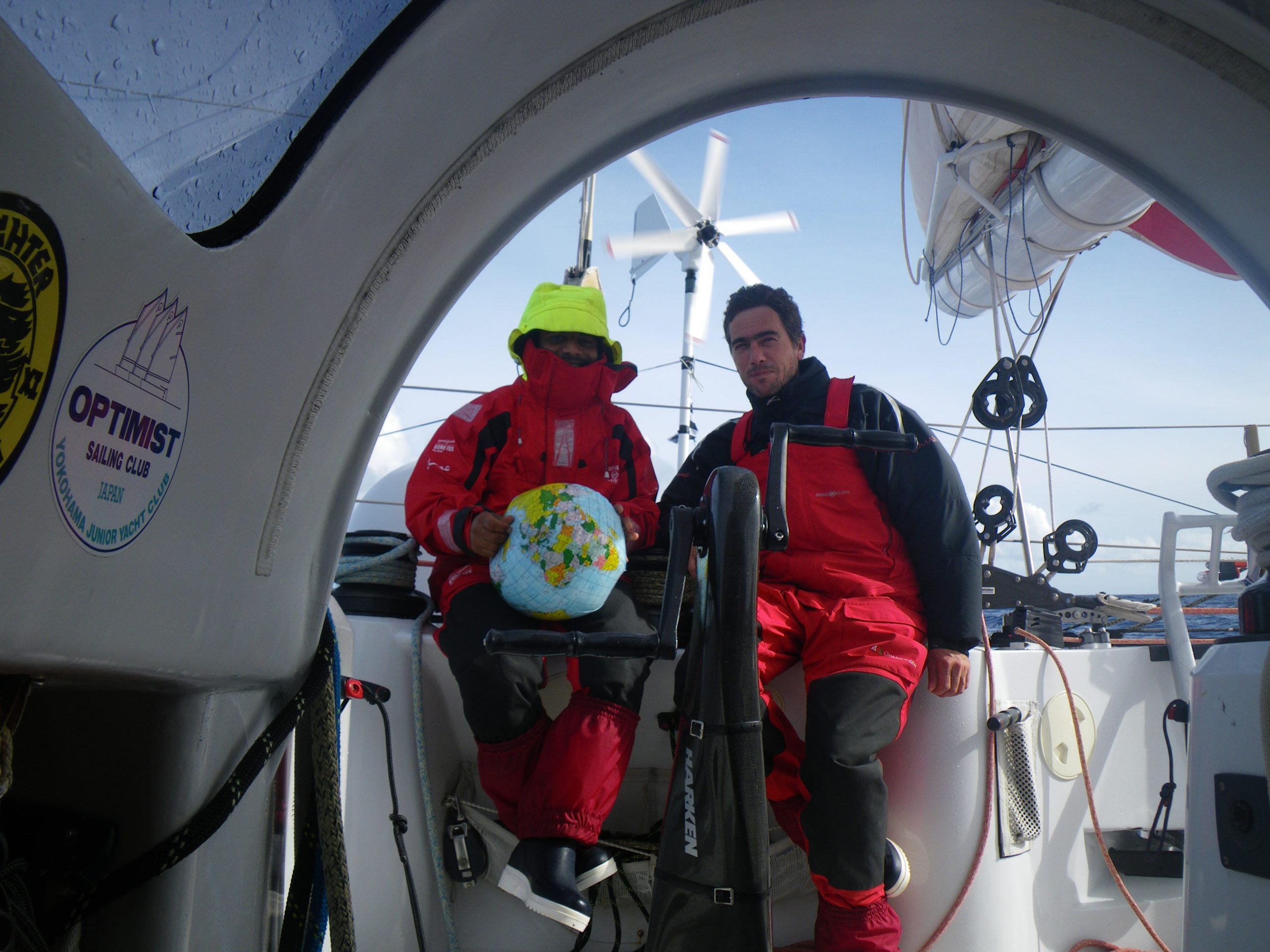
Mohsin and Loik contemplate the last 3000nm
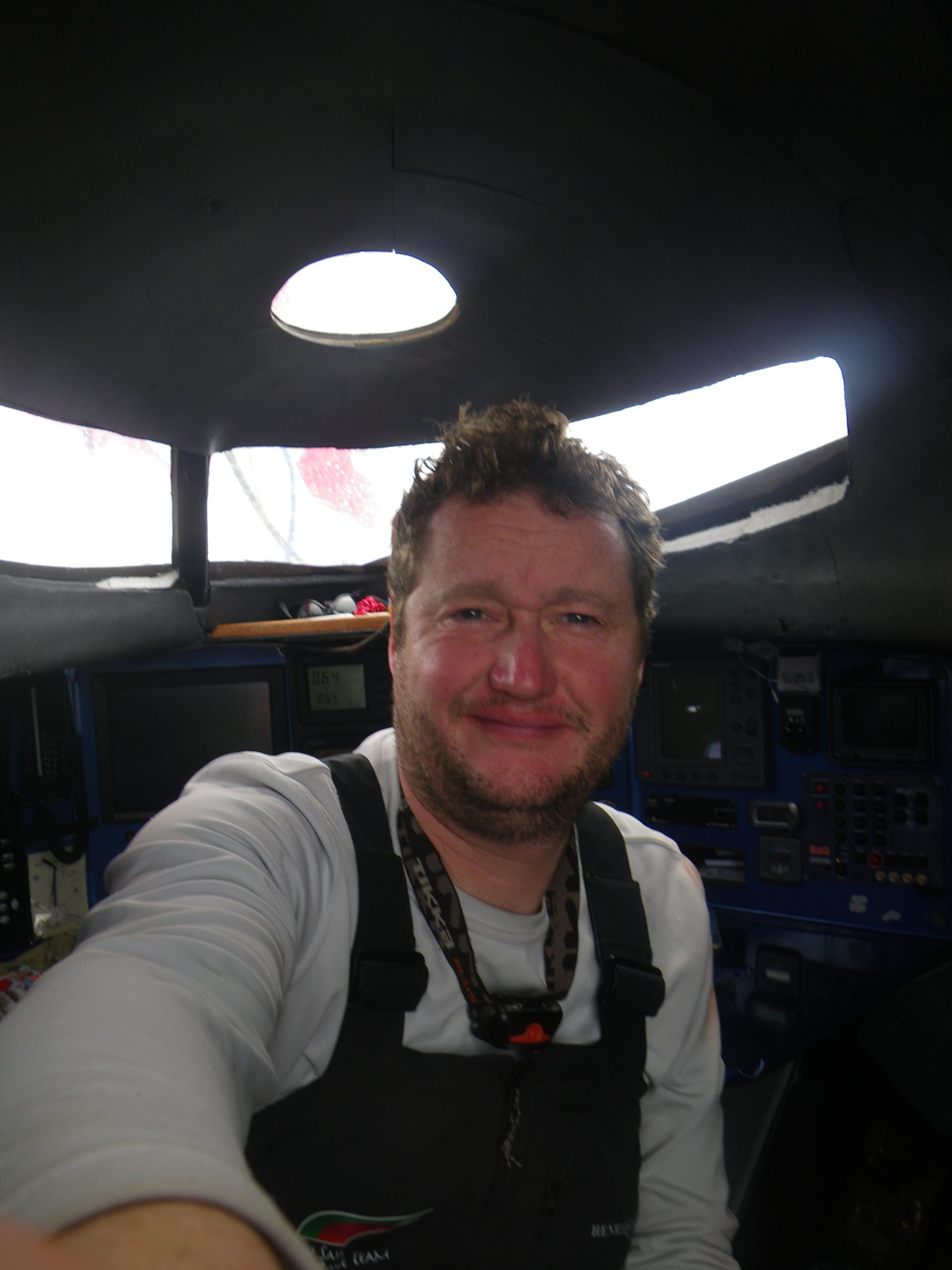
selfie before they were called selfies
Email from the boat to shore:
From: OmanTri
Date: Fri, 6 Mar 2009 01:14:44 -0000
To: update
Subject: Friday again
It’s friday again – the past few weeks have really gone so quickly, we find
outselves coming in to the last weeks of the trip so soon.
The last 24 hours has been one of change – we started out still with our
rough sea 3 reefs and staysail, and we have ended up with full mainsail and
solent jib. It’s dry on deck, we are heading exactly where we want to go –
and making ground to the north very quickly, as we left the 40s yesterday
we saw a couple of flying fish – seem to be a long way south, but a sign
things are warmer already. Being dry on deck is a novelty again, and Loik
just came off a long stint on deck totally dry, and without having to wear a
foul weather jacket!!!! everyone’s mood is reflected in the change of
weather.
The real end to the south for us was probably a long line of cloud that was
the front that brought the change of wind and wave conditions. We had seen
it on the satellite pictures, we could see it for 5 hours before sailing out
from underneath it – one min 18kts , the next 3kts the sea changed
instantly too – unreal….. a huge line of cloud, a big rolled edge to it
stretching as far as the eye could see in each direction. after 2 hours of
shifty and variable ( 3-19kts of wind we were away to the NE making
progress to our routing waypoints, and a general feeling of a line being
drawn between two parts of the journey.
What next – a tour of the islands of the Indian ocean. I had no idea there
were so many, and in some places some giant underwater plateau – some just
50m deep surrounded by 3500m deep ocean. It’s going to be interesting to see
how the weather shapes up for us… as we head north we need to be careful
not to get pushed too far West, as out there south of Madagascar there is
very large low, that if we end up too far W will provide NE winds ( and
fairly strong) and facing another few days upwind right now just wouldn’t be
fun. So by going NE now we are ensuring we have good E and SE winds all the
way to the Doldrums ( around 10S-12S) and once through these – easier to
write than to do we are into some N winds – sometimes from NW and somethimes
from NE…. so we’ll be looking to choose a side of the indian ocean to
favour, and head that way for awhile before making our final approach to
Muscat. Right now the favoured side is the Indian side passing somewhere
close to the group of islands that make up Maldives. Crossing the equator a
week from now would be a good target to choose and could keep us on track
for a total time of around 70 days, though lots can change in 2 weeks, and
certainly the forecast that far ahead is of limited value. Have a look on
the chart of Cochin in India – this is where the Volvo Ocean race visited,
and their experience of getting there varied greatly – one boat only
managing 48nm in a 24hr period, so ETA predictions change very quickly. The
greatest challenge of modern offshore racing is that the boats have such
great variaition in speed. So a small increase ( or decrease) or even a
10shift in the wind direction will add (or reduce) many knots of
oatspeed – added to that a large seastate factor where we must also protect
the boat and our sevles from travelling too quickly over too rough a sea.
It’s as frustrating for you specators as it is for us onboard not knowing
when we’ll finish exactly, but that’s meant to be part of the fun! This is
a natural driven sport, and that means we have to live with the variety
that nature is going to give us!!!
Weather Router’s advice:
From: Commanders’ Weather
To: Musandam
Subject: Weather 3/6/09
Date: 06/03/2009 14:06:06
To: Charles Darbyshire and the crew of
ìMusandamî
From: Commanders Weather Corp
Event: sail around the world
Last Position: 33 38s/58 24e at 1245utc Fri, Mar 6
Prepared: 1300utc Friday, March 6, 2009
SummaryÖ
1) Like where you are very much ñ further E is better, but if you have to go
straight N from here, that
will be just fine
2) The weather models are lousy in the Doldrums and equatorial areas, but
the plan is
a) we need to be on the right side/east side of the rhumb line, since the
winds will shift from NW to N to NE, but
b) we donít want to be so far E that the Maldives become a routing
feature on our route. The Maldives are a tidal and navigational nightmare
c) right now I am looking for cross the Doldrums/10S near 60-62E
3) Low pressure is presently near 28-29S/41-42E and moving SW and S
4) Your winds may become a little north of due E over the next 12-18 hrs
a) do the best you can to not get pushed too far W, since winds are
stronger and further left/more headed west of 58E. While further E, the
winds are more E or even ESE. So, better winds E of 58 30E and bad winds W
of 58E
5) Should finally reach good trade winds Sat afternoon or evening
a) at that time we will be looking hard at a specific spot to cross 10S
6) Winds will become very light near 10-11S and then transition into a
westerly
a) the GFS weather model is not as favorable as it looked yesterday, but
2a and 2b should be very important routing considerations
b) once we hit the light wind area, we want to go N and NNE, as
efficiently as possible. We will try to limit any NW, NE, or ENE routing
Wind directions are TRUE, wind speed in kts, and time is UTC
Fri, Mar 6
18: 090-070/15-20
Weather…Squally showers in the area, but clearing N of 31-32S. Swell
mainly 4-7 feet from the ESE and E, but there will be some NW swell as well
Sat, Mar 7
00: 070-090/17-23
06: 070-090/16-22
12: 100-080/22-12, near 27 30S/58 30E
18: 100-120/13-18
WeatherÖCloudy to partly cloudy with the showers ending. NW swell ends and
seas mainly SE-E 4-7 feet, once the low passes, but before then it may be
quite rough
Sun, Mar 8
00: 090-110/12-18
06: 100-120/14-20
12: 110-130/12-17 nr 21 10s/60e
18: 120-140/10-16
WeatherÖPartly cloudy, maybe a brief trade wind shower. E and ESE seas 4-7
feet
Mon, Mar 9
00: 120-140/10-15
06: 100-120/11-15
12: 110-090/ 8-12, near 14 55S/61 45E
18: 090-110/ 7-12
WeatherÖFair to partly cloudy with ESE seas of 3-6 feet
Tue, Mar 10
00: 090-110/ 5-10
06: 130-070/ 5-8
12: 050-330/ 4-8, near 10S/61 20E
18: 340-300/ 4-8
WeatherÖPartly cloudy, any shower threat ending with a wind shift into the W
and NW. N and NW swell increasing to 3-5 feet
Wed, Mar 11
00: 300-240/ 5-9
12: 270-300/ 8-12, near 6S/63W
WeatherÖPartly cloudy. NW seas 3-5 feet
Best regards, Ken Campbell
—
PLEASE NOTE: AS OF JANUARY 1, 2008, OUR NEW EMAIL ADDRESS IS :
info@commandersweather.com
Commanders Weather Corp.
Tel: 603-882-6789
A selection of pictures from today: