Lat: 45 16.79′ S
Long: 156 20.95′ W
Inst Speed: 20.3
Wind Dir: 249
Wind Speed: 26.2
Distance last 24hr: 370.99
Distance to finish: 12313.14
Long: 156 20.95′ W
Inst Speed: 20.3
Wind Dir: 249
Wind Speed: 26.2
Distance last 24hr: 370.99
Distance to finish: 12313.14
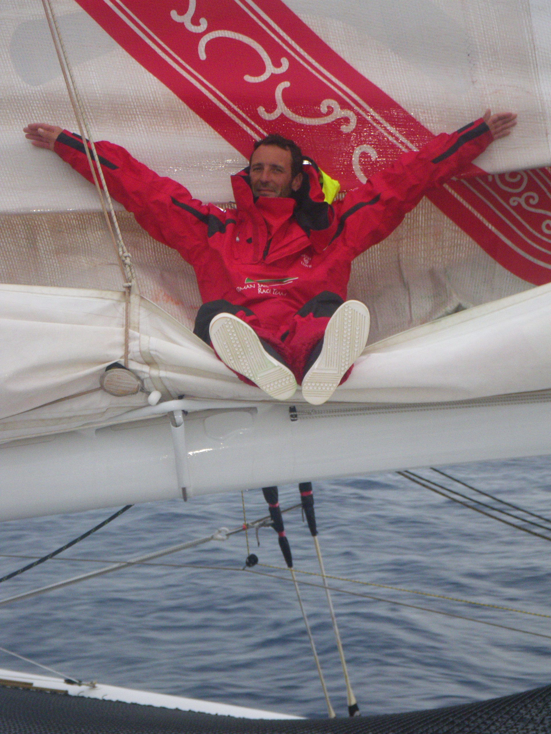
bit of a sit down !
Email from the boat to shore:
From: OmanTri
To: update
Subject: Saturday
Date: 07/02/2009 02:47:22
7th Feb
Whats happening onboard Musandam today? well we are just a few hours from
darkness , and most of the daylight hours have been spent in mostly sunny
conditions – even able to get wet weather gear tops off for a while, which
was perfect for getting an airing to the lower layers. Now however it’s
clouded over and the tempreture is dropping a bit before night fall. In the
small cabin where I sit at the chart table now, with Loik in the galley
making some food, and Theirry asleep on the bunk the warmth of 5 people keep
the tempretures up – right now it’s 22 degrees. The tempreture goes up and
down quite rapidly depending on the galley stove being run, or the
generator, or how many people are around – at the change of watch when all 5
people clamour for space the tempreture rises – apparently each person gives
off 75W of energy, so that’s quite a bit of heating when we are all in the
same small space.
Space is of course very limited on a boat designed primarily for one
person – our living area down below is so very small that a small series of
movements are required to be able to move around one another, but once
perfected ( and with a bit of waiting by everyone at some point) we manage
with out too many traffic jams. Rush hour is just around the change of
watch, when the guys who have been on watch want something to eat – or to
read emails, or to put something to dry on the generator. the quietest time
is during a watch at night when we come off deck we just get out of outer
gear as fast as possible and head to the bunk!
A 2nd yellow suit has appeared – this time sported by Hooch. Mohsin is
being particulally bullish about not getting his out – ” I am not ready for
the last resort yet, and I’m happy to hold out until the conditions get
worse before making the change from red to yellow, it’s not been as cold as
we expected yet, and so I can manage at least another day”
Our progress these last 24 hour has been fairly good – in some big seas,
though we perhaps gybed a little too early – impatient for the wind to shift
more to the W and NW, but it’s not so bad – being in the N feels quite ok
right now, and we can all ways gybe back for a couple of hours if we feel we
are getting sucked too far N into the HP area. As tht HP moves to the E to
our north the winds will pick up a bit from the NW and our eastward progress
should be fast once again. We an imagine being this far N perhaps until
tuesday, when it’ll be time to take a bit of a dive to the SE before
headind E again waiting for the right moment to head on our final approach
to Cape Horn – sometime next weekend if we are fast, perhaps the
monday/tuesday if we collect any lighter airs on the way. …. still a
little bit too far ahead to know exactly. In terms of distances — we are
approx 1225m, to our 1/2 way line, and can hope to be there some time on
tuesday 10th of Feb, if that’s the case our lead on the 80 day pace boat
will have opened up to around 6 full days – a pretty hand amount, and it’s
hard not to ask amoungst our selves is the 2nd 1/2 going to be as quick as
the first? if so then it’s a small sum to get the total number of days
sailed, and some kind of ETA in Muscat…we all know how dangerous it is to
think about it, but it does occupy our minds.
Weather Router’s advice:
From: Commanders’ Weather
To: Musandam
Subject: weather 14 utc Sat 2-7
Date: 07/02/2009 14:11:43
To: Charles Darbyshire and the crew of
“Musandam”
From: Commanders Weather Corp
Event: sail around the world
Last Position: near 44 15s/153 16w at 12 utc Sat Feb 7, 2009
Prepared: 1400utc Sat Feb 7, 2009
SummaryÖWill route you further N to stay north of your ice gate.
1) You were getting closer to high pressure to your N earlier but as the
high moves off to your E and
next frontal system approaches from W your winds should clock and
increase a little more next 12
hours.
2) This will allow you to sail eastward easily thru 00 utc Mon staying N of
Ice gate.
a) Winds by 00 utc Mon will be getting close to due N and
begin to diminish.
3) It does look with this further N track like you will interact(for a short
time) with strengthening low
pressure diving SE over the next few days.
4) Expected positions of the low from 6 utc guidance from GFS:
a) 12 utc Sun low nr 32s/148w
b) 12 UTC Mon low nr 4130s/136w
c) Low just to your E at 18 utc Mon
d) Strong low nr 53s/117w at 12 utc Tue and continues to
track SE
5) The main concentration of wind (35-50 kts) will be east of the track so
we do not want to get E of this
low when it gets close to you 12 -18 utc Mon.
a) If you need to slow down to do this then do it.
7) With our estimated positions below you remain W of the low but close to
it 12-18 utc Monday.
8) This will mean winds could drop down to 10 kts for a time and also clock
thru N ñNE-SE-S to get to
SW-W by 18 utc Monday.
a) Winds initially on the W side of the low will be
quite light.
9) But as the low pulls away and continues to strengthen W-WNW winds
increase toward and after 00
utc Tue
a) Speeds by 12 utc Tue could be as high as 30-40
kts
10) No real way to avoid this but do expect your winds will slowly diminish
after 00 utc Wed as the low
continues SE and consolidates with another low coming from the W down
near 58s/112w by 12 utc
Wed
11) Longer range weather pattern shows much lighter wind regime developing
the end of the week near
and south of 50s.
12) This is good news as you will need to get S then as you head for Cape
Horn.
13) But wind angles may not be good for getting S easily as they come from
the WNW.
a) Will be tackle that problem the end of the week.
RoutingÖ Will keep you near or north of 47s/150w to 49s/110w ice gate to
avoid possible ice further
S.
In the short term do not want you much further E than
137w at 12 utc Mon to avoid
Getting on the wrong side of the low diving SE. If you
need to slow the boat then do so.,
Can resume more optimum speed after low passes but may
have to do some gybing to S
when winds are more westerly later in the week.
Estimated positions listed below
Wind directions are TRUE, wind speed in kts, and time is UTC
Sat, Feb 7 ñ increasing W-NW to NW wind ahead of cold front ñ now on port
18: 290-310/ 22-30
WeatherÖPartly cloudy to cloudy
Seas 12-16 ft, SW swell
Sun, Feb 8 ñ NW wind ahead of cold front, but diminishing late as front
nears
00: 300-320/25-35
06: 310-330/25-35
12: 320-340/25-35 nr 45s/145w
18: 330-350/25-32
WeatherÖMostly cloudy with risk scattered squally shower
Seas 12-16 ft, SW swell
Mon, Feb 9 – getting close to low to E ñ winds become more uncertain but
likely lighter
00: 340-350/18-25
06: 340-350/17-22
12: 360-040/15-10 nr 46 s/137w
18: bcmg 220-270/10-15 ñ low just to your E
WeatherÖConsiderable cloudiness, squally showers possible
Seas 8-12 ft, SW swell
Tue, Feb 10 – increasing wind as low departs
00: 250-270/20-30
06: 280-300/25-35
12: 290-310/30-40 nr 46 30s/128w
18: 290-310/25-35
WeatherÖConsiderable cloudiness, squally showers possible
Seas building back to 12-16 ft W swell
Wed Feb 11
00: 290-310/ 30-40
06: 270-290/ 25-35
on starboard for 12 hours while winds are more westerly to get some southing
in.
12: 270-290/ 25-35 nr 47s/ 119w
18: 270-290/ 25-35
WeatherÖConsiderable cloudiness
Seas 12-16 ft W swell
Thu, Feb 12 ñ back onto port and heading E
00: 280-300/ 20-30
12: 280-300/ 18-25 nr 48s/111w
WeatherÖVariable cloudiness
Seas 15-20 ft W swell
Best regards, Tom Mattus
—
PLEASE NOTE: AS OF JANUARY 1, 2008, OUR NEW EMAIL ADDRESS IS :
info@commandersweather.com
Commanders Weather Corp.
Tel: 603-882-6789
A selection of pictures from today: